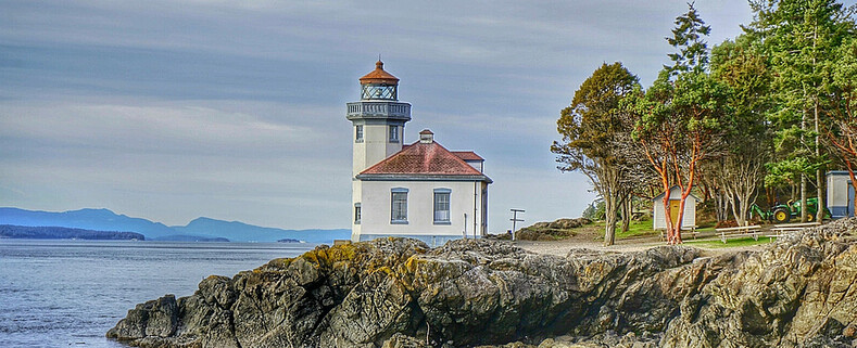
Mount Vernon, Wa
Map IT
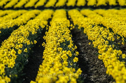
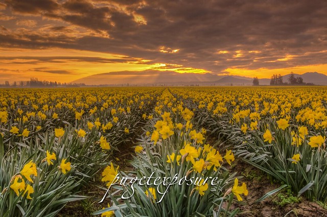
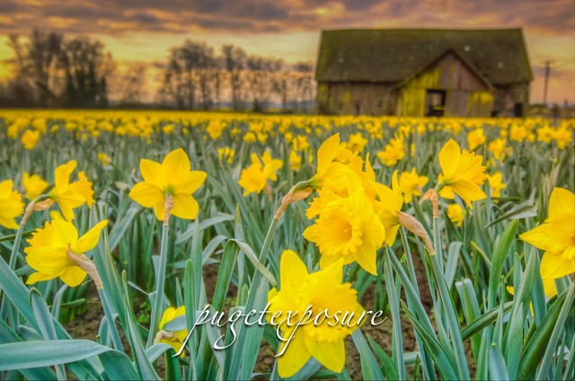
For last 2 weeks the fields around Mount Vernon and La Connor, Washington have been seeing sign of spring. The daffodil fields are close to being in full bloom with many acres covered in rows upon rows of yellow speckles. It is definitely worth the trip to spend the afternoon driving through the floral route.
Daffodils are one of the early spring bloomers and you will want to go sooner than later. By end of March, early April and weather or wind blow off the tops of the Daffodils.
Distance from Seattle: 62miles 1hr 10min
Rating: 4 out 5
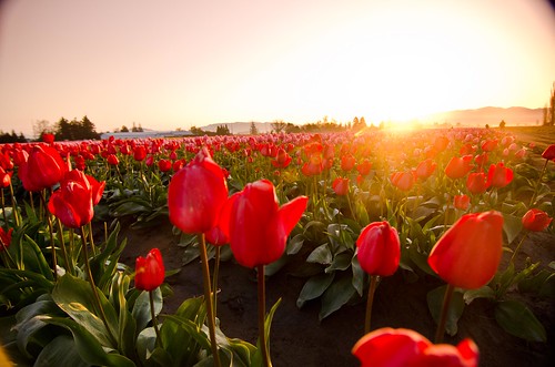
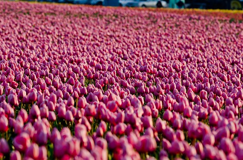
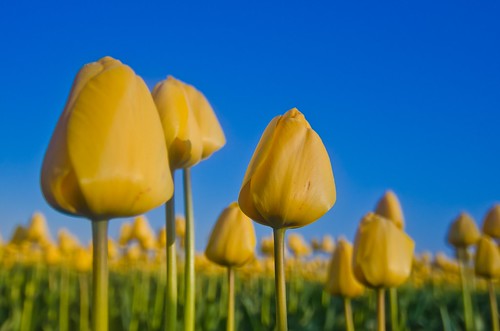
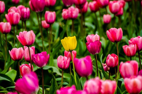
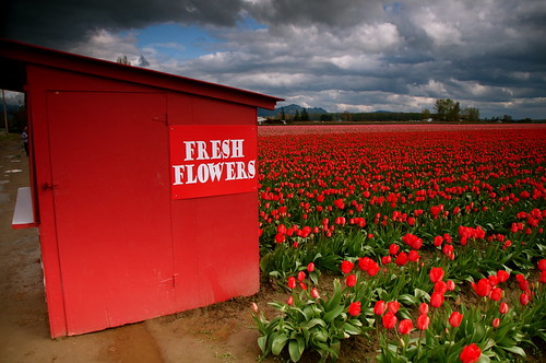
Reason to go: Short drive from Seattle to see hundreds of acres of wildflowers, daffodils and tulips in all sizes and colors. The Skagit Valley Tulip Festival is one of the most fantastic events in the state of Washington. It runs from April 1 to April 30 every single year. Its worth it to start your day really early or go during the week. The word is out and weekends the tulip route will be packed with young kids and families. If your into Landscape or Flower photography this festival will give you great subjects to photograph.
TIPS: Although the Tulip Festival runs from April 1st through April 30th the actual blooming of the tulips varies with weather conditions. Short or long winter weather can cause tulips to bloom earlr or be delayed a few weeks. Check
http://www.tulipfestival.orgTulip Festival / for current field conditions.
If you do plan on going to the Tulip Festival. LEAVE EARLY in the morning to avoid the traffic mess, easier to find parking, setup your camera in a field looking east for a nice sunrise shot. Shoot by yourself and not have many people will be walking through your shot. The best light is in the morning and towards the evening.
It can be cloudy in Seattle but bright and sunny in Mount Vernon. Once the sun gets up over the cascade mountains the sky becomes a huge baby blue light box and it will be harder to find the right exposure for the flowers.
Tulips grow on raised mounds of dirt. Depending on previous days weather you could be walking on soft dirt or trekking through mud puddles, so bring shoes and pants that you don't mind getting dirty.
Every year the layout of fields change, to find out where things are you can download a field map from
Tulip Festival. Some of the growers charge a parking fee of $3-$5 to visit their grounds. Most of the streets that run between Mount Vernon and La Conner are 2 lane rural roads with NO SHOULDER PARKING. There are ropes and signs all over the place telling people not to park on the side of the road, but as the day goes on and the mass of weekenders start to roll in you will see backups building up because people will stop in the middle of the road to admire the fields.
Postcards, Art Prints and Canvas Prints are available for sale here
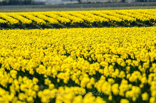 |
| Over 450 acres of Yellow Daffodils are no in bloom
|
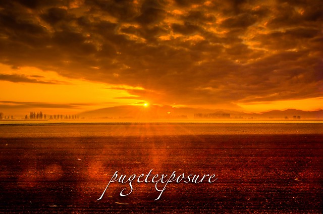 |
| Setting Fire to the Rain |
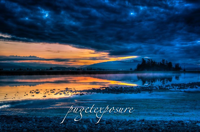 |
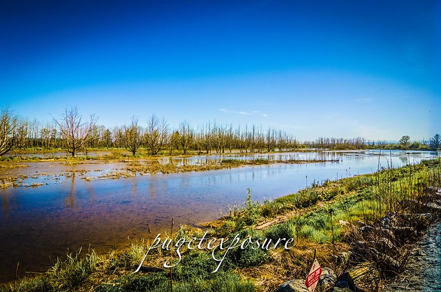
| Flooded Field at first light |
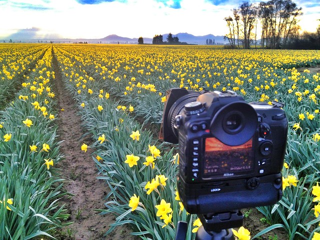 |
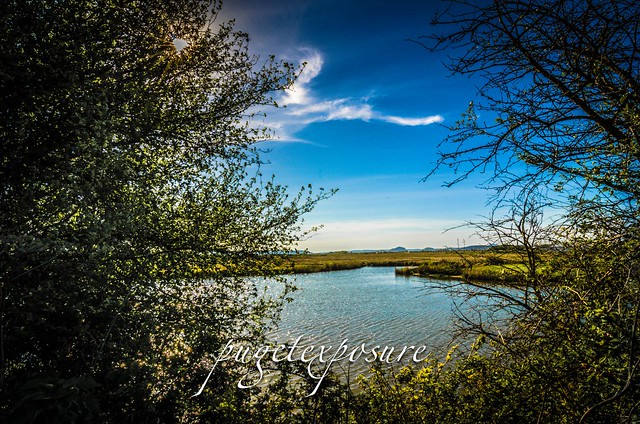
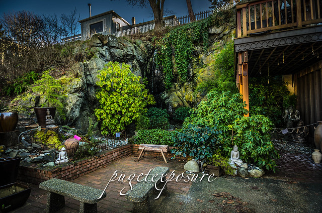
| Behind the scenes at the farm |
Things to do in Seattle, photography, landscape photography, landscape photography for beginners, Washington Photography, Washington State Tourism, floral photography, things to see in washington state, skagit valley tulips, floral photography, Seattle Photography, Seattle Photographers, Seattle Photos, Puget Sound, Puget Sound Photography, Washington State Photography Locations,