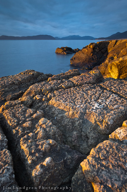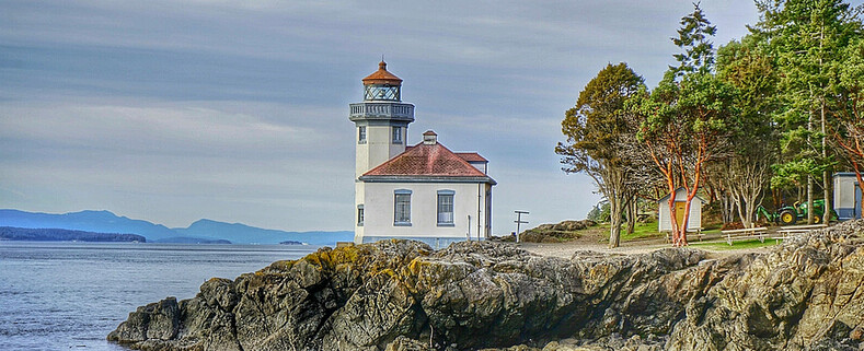


Fort Flagler State Park
Nordland, Wa
MAP IT
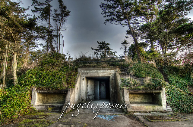
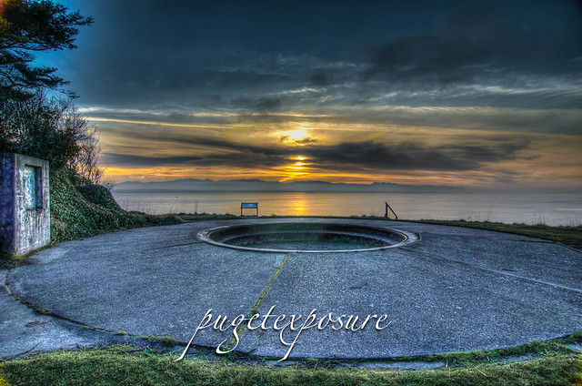
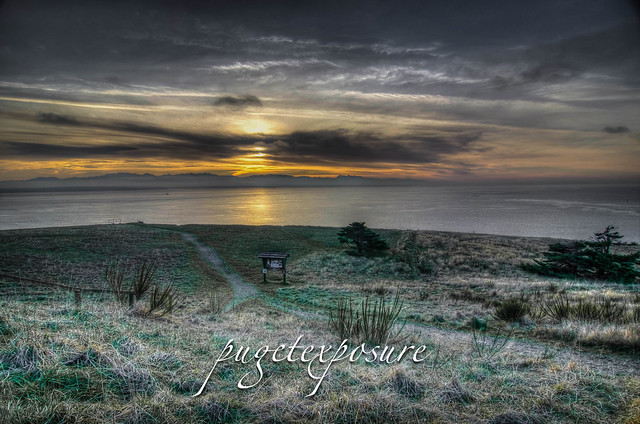
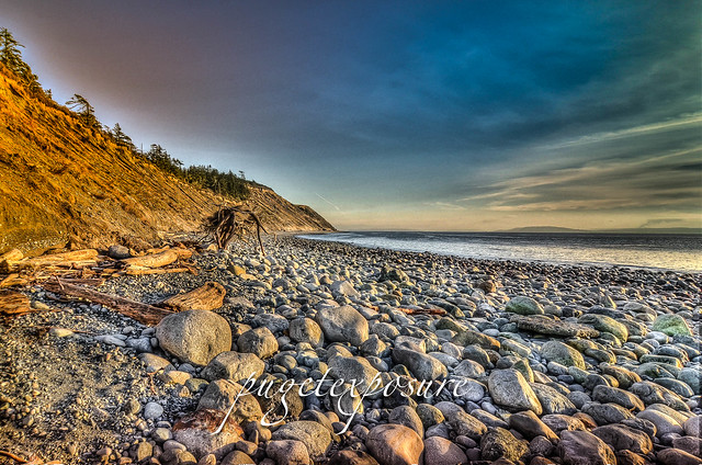
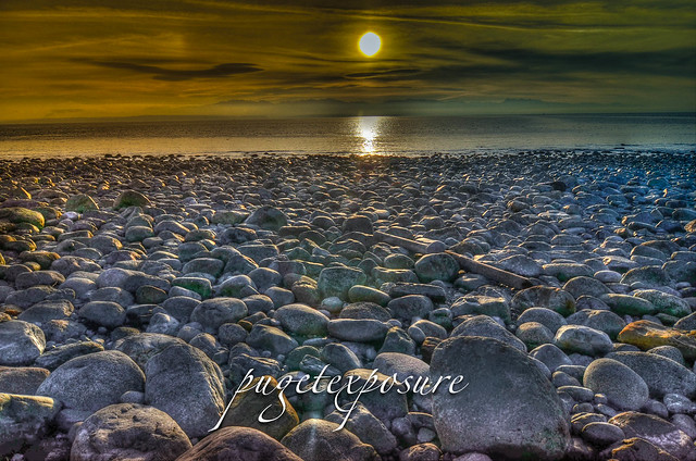
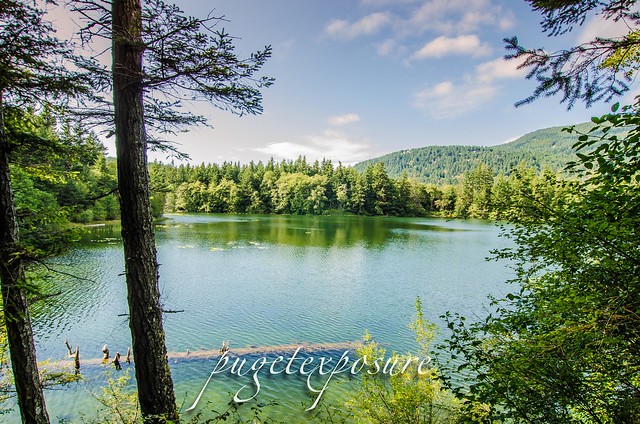
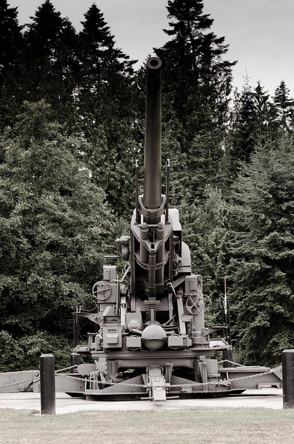
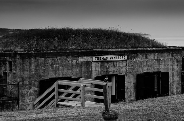
Fort Flagler State Park is a 784-acre former United States Army fort at the northern end of Marrowstone Island. Commissioned in 1899 and ended its military service in 1953, Fort Flagler was part of of the Harbor Defense of Puget Sound. Fort Worden, Fort Flagler and Fort Casey, once guarded the entrance to Puget Sound. These posts, established in the late 1890s, became the first line of a fortification system designed to prevent a hostile fleet from reaching the Bremerton Naval Yard and the cities of Seattle, Tacoma and Everett. The property was purchased as a state park in 1955.
Today it is run by Washington State Parks as a camp ground. Many historic buildings remain at this 19th-century-established military fort.


 Gear Used:


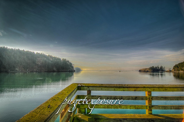
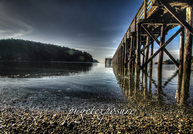
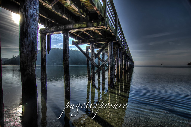
Nordland, Wa
MAP IT
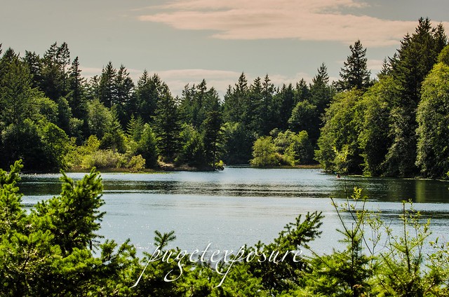
Fort Flagler State Park is a 784-acre former United States Army fort at the northern end of Marrowstone Island. Commissioned in 1899 and ended its military service in 1953, Fort Flagler was part of of the Harbor Defense of Puget Sound. Fort Worden, Fort Flagler and Fort Casey, once guarded the entrance to Puget Sound. These posts, established in the late 1890s, became the first line of a fortification system designed to prevent a hostile fleet from reaching the Bremerton Naval Yard and the cities of Seattle, Tacoma and Everett. The property was purchased as a state park in 1955.
Today it is run by Washington State Parks as a camp ground. Many historic buildings remain at this 19th-century-established military fort.
Gear Used: