


Mount Baker Snoqualmie National Forest
MAP IT
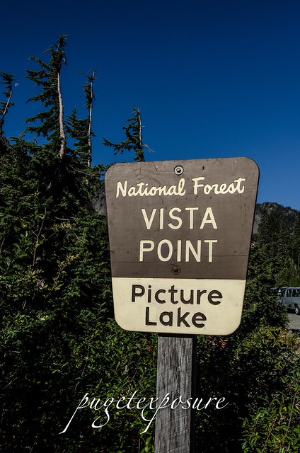
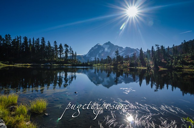
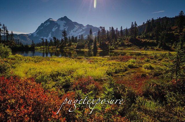
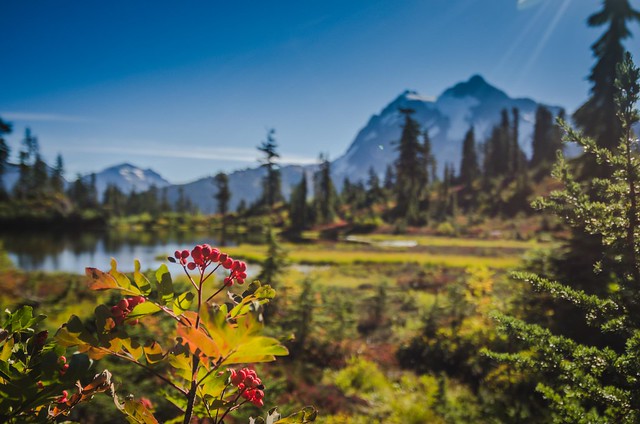
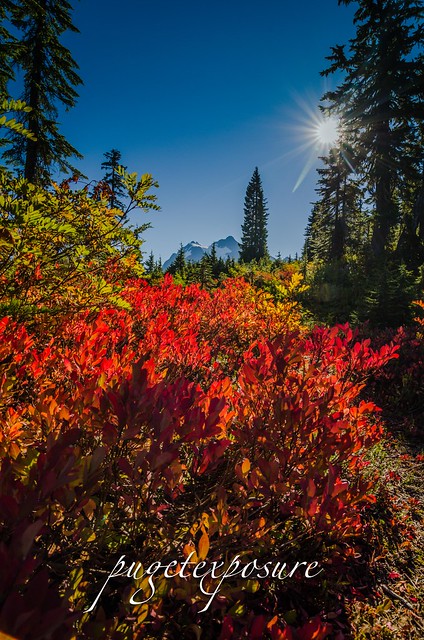
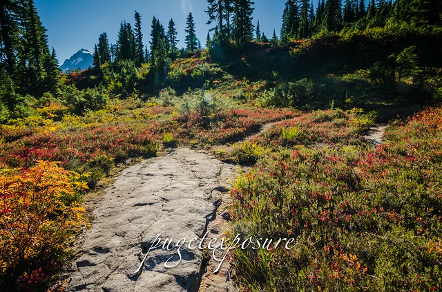
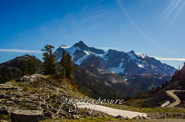
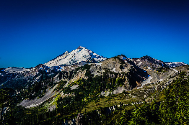
Artist Point is located at the very end of Mount Baker Highway, State Route 542 and boasts 360-degree views of Mount Shuksan and Mount Baker, as well as access to a variety of trails. In late summer the open meadows at Artist Point fill with blooming wild flowers backed by the towering rock summit of Mount Shuksan and glacier-crowned Mount Baker.
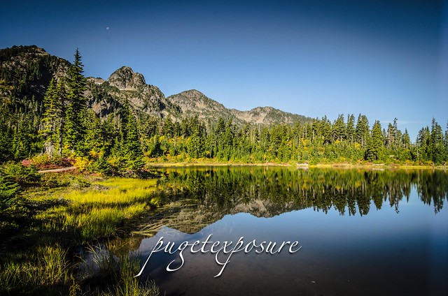
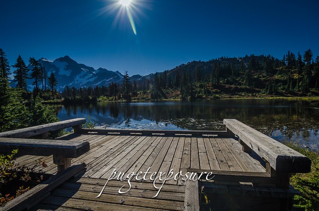
The road to Artist Point from Heather Meadows is 2.7 miles long (milepost 54.55 to 57.26) and more than 5,000 feet above sea level, is typically buried under snow and closed from October through June. Artist Point typically opens in July and remains open until the first substantial snowfall of the year, which usually comes in late September or early October.
Please Support Puget Exposure
We love to bring you guys the updates to best and greatest photography locations in and around Seattle and the greater Puget Sound area, photography tips and gear related stuff. However, we can’t keep doing that unless we have your continued support. If you would like to purchase any of images featured in an article, please do so by clicking HERE or on the Post Cards and Prints tab above in the header. You can also make secure donation to the travel fund via PayPal. If you frequently shop on Amazon.com, by clicking on the Amazon links listed below you can continue to browse Amazon and any purchase you make will give us a small portion of the sale to continue to run this website.
Banner Links for PEP
Gear Used:

 Washington State travel, Washington State travel, Washington Destinations, Photography, Photography spots, best things to do in Seattle, Best things to in Washington State, Washington Tourism Alliance, Washington State Tourism board, recommendations, recommendations for things to see in washington state, things to do in washington state, things to do in seattle, things to do in Tacoma washington, Washington Photographers, Washington nikon shooters, best seattle photography, washington exploration, experience washington, what to do while visiting seattle, seattle top attractions, seattle food, Space Needle, Explore Washington State, Puget Exposure Photography, Puget Exposure, Road Trips through Washington State, Weird Washington, King County, Snohomish County, Seattle, Everett, Tacoma, Kent, Redmond, Kirkland, Washington Sunrises where and when, Washington State Weather, Artist Point, North Cascades National Forest, SR542, Mount Naker Highway
MAP IT
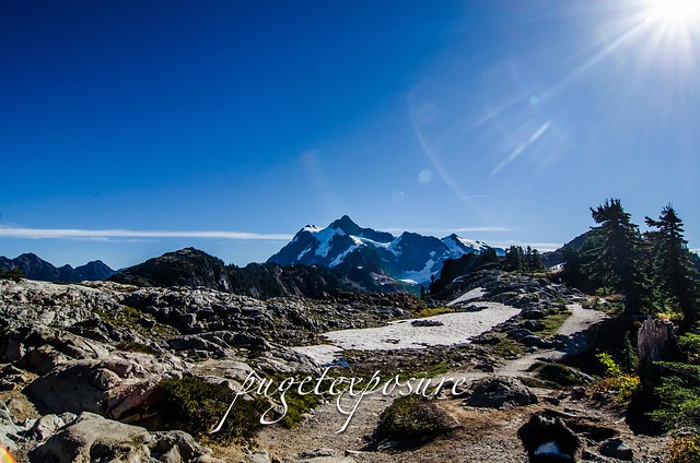
Artist Point is located at the very end of Mount Baker Highway, State Route 542 and boasts 360-degree views of Mount Shuksan and Mount Baker, as well as access to a variety of trails. In late summer the open meadows at Artist Point fill with blooming wild flowers backed by the towering rock summit of Mount Shuksan and glacier-crowned Mount Baker.
The road to Artist Point from Heather Meadows is 2.7 miles long (milepost 54.55 to 57.26) and more than 5,000 feet above sea level, is typically buried under snow and closed from October through June. Artist Point typically opens in July and remains open until the first substantial snowfall of the year, which usually comes in late September or early October.
 |
Please Support Puget Exposure