Lime Kiln Lighthouse

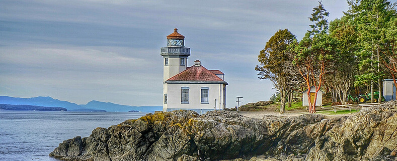
Lime Kiln Lighthouse on the west side of San Juan Island, Washington

Lime Kiln Lighthouse on the west side of San Juan Island, Washington

Lime Kiln Lighthouse on the west side of San Juan Island, Washington

Lime Kiln Lighthouse on the west side of San Juan Island, Washington

Lime Kiln Lighthouse on the west side of San Juan Island, Washington

Showing posts with label Seattle overlook. Show all posts

Sunday, February 2, 2014

No. 236 12th Ave South Bridge, Dr Jose Rizal Bridge


Built in 1911, the 171 foot long 12th Avenue South Bridge remains Washington State's oldest steel-arch bridge. The bridge connects Dearborn Street in the International District to Beacon Hill. In the past the bridge spanned trolley lines. By 1936 the trolley lines were removed and a 40 foot roadway was installed. In the 1960s the bridge underwent improvements as the Interstate 5 and Interstate 90 interchange was built.

Bridge (later Rizal Bridge), Seattle, October 24, 1917
Courtesy Seattle Municipal Archives
12th Avenue South Bridge or Dearborn Street Bridge (later Rizal Bridge), Seattle, February 16, 1937
Courtesy Seattle Municipal Archives


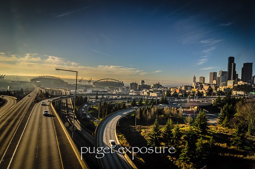
The 12th Ave South Bridge is a good vantage point for sunset shots of the downtown Seattle Stadium District with the Olympic Mountains in the background. Depending on the time of year the sunset will set just behind the downtown buildings. It is also a popular location for longe exposure photography with I-5 & I-90 snaking it way through the frame. 
You can find parking north of the bridge adjacent to the Pacific Med Building and Dr Jose Razal Park.


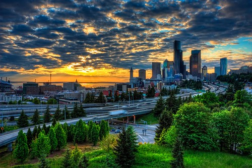
12th Street Sunset Seattle
Sunset by David Irons Jr
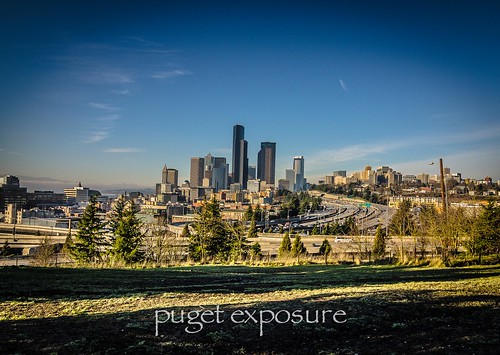
12th Ave South Bridge
Dr. Razal Dog Park view
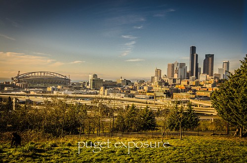
12th Ave South Bridge
Century Link Field and downtown Seattle from Dr. Jose Razal Dog Park
12th Ave South Bridge
I-90 Overlook
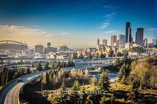
12th Ave South Bridge
East and West spurs of I-90 passing under 12th Ave Bridge 
Washington State travel, Washington State travel, Washington Destinations, Photography, Photography spost, best things to do in Seattle, Best things to in Washington State, Washington Tourism Alliance, Washington State Tourism board, recommendations, recommendations for things to see in washington state, things to do in washington state, things to do in seattle, things to do in Tacoma washington, Washington Photographers, Washington nikon shooters, best seattle photography, washington exploration, experience washington, what to do while visiting seattle, seattle top attractions, seattle food, dr jose razal bridge, beacon hill,

Thursday, June 14, 2012

No. 51 Kerry Park

Kerry Park 
 250 W Highland Dr
Queen Ann Hill, Seattle, WA 


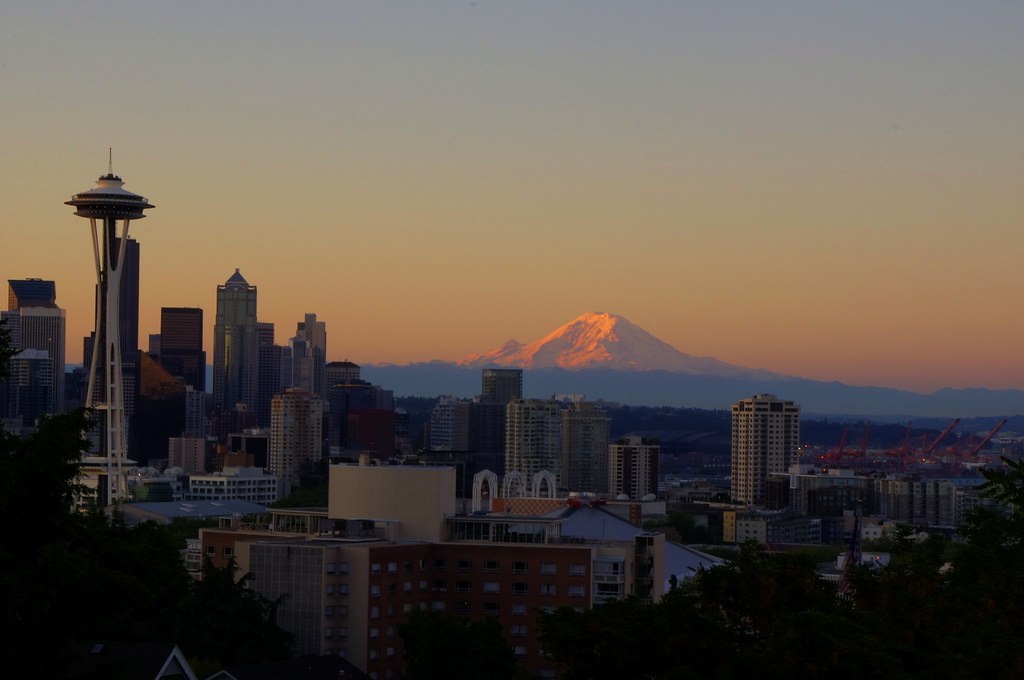
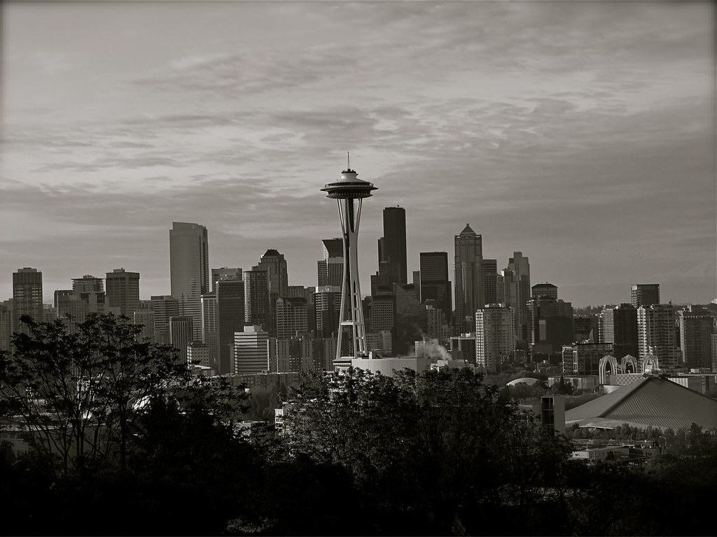
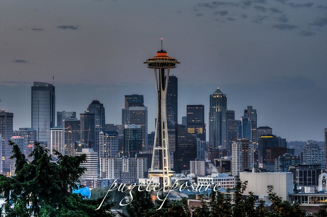
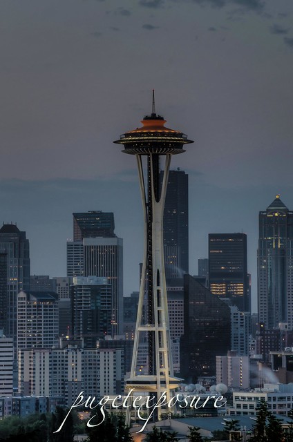
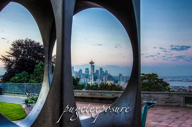
Downtown Seattle from Kerry Park

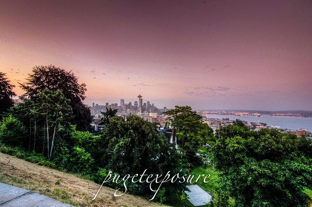
If your looking for that picturesque post card image of Seattle then head over to Queen Anne Hill to Kerry Park. At just over 1 acre the parks has the best viewpoint looking out over downtown Seattle Skyline, Elliott Bay and the Seattle Skyline, with an occasional backdrop of Mount Rainier, draws tourists on foot and photographers to this spot. At sunset they often line the hand rails just as the city and the sound are beginning to glow with lights. At night it becomes almost a fantasy scene, with brightly lit ferries gliding across the water and the Space Needle shining from its 500-foot pedestal.
 Kerry park tends to be a little windy - so a sturdy tripod will be very useful. Check the weather outlook for clear morning and evening. Mount Rainier only is visible in certain conditions. . The best sunset colors are usually in summer but some of the most delicate hues are in spring - usually the day before/after a storm.


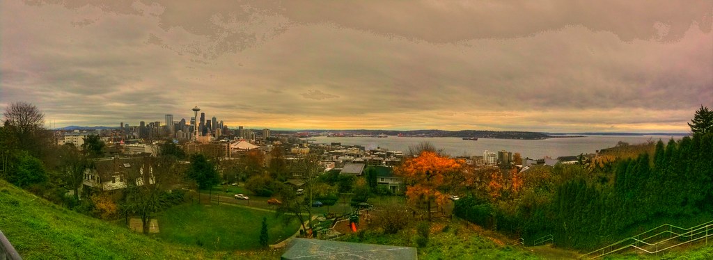
Wide view of downtown Seattle skyline from Kerry Park
Wide Angle view from Kerry Park

  lens rental Learn Photography Online with the Pros Save $10 Now #KTCJQ12

Wednesday, April 11, 2012

No. 25 Gas Works Park

Gas Works Park in Seattle, Washington is a 19.1 acre (77,000 m²) public park on the site of the former Seattle Gas Light Company gasification plant, located on the north shore of Lake Union at the south end of the Wallingford neighborhood. Gas Works park contains remnants of the sole remaining coal gasification plant in the US. The plant operated from 1906 to 1956, and was bought by the City of Seattle for park purposes in 1962. The park opened to the public in 1975. The park was designed by Seattle landscape architect Richard Haag, who won the American Society of Landscape Architects Presidents Award of Design Excellence for the project. It was originally named Myrtle Edwards Park, after the city councilwoman who had spearheaded the drive to acquire the site and who died in a car crash in 1969. In 1972, the Edwards family requested that her name be taken off the park because the design called for the retention of much of the plant. In 1976, Elliott Bay Park was renamed Myrtle Edwards Park.
 More info on the park

Gas Works park via photosynth

Gas Works Park Photosynth Panorama

"The Prowlers"

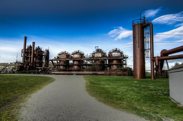
"They Might be Giants" Colored

They Might Be Giants

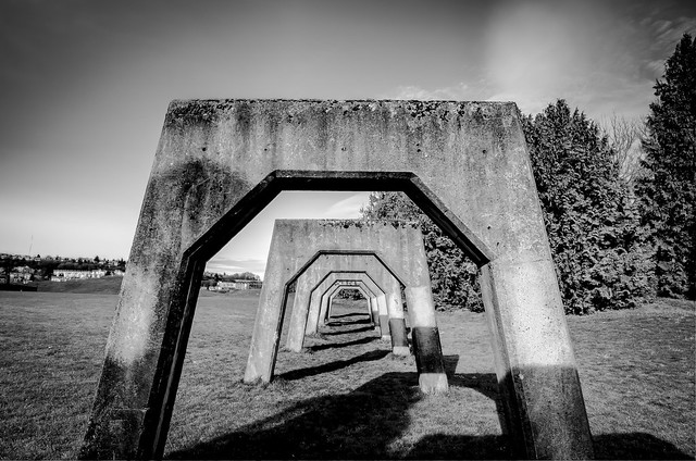
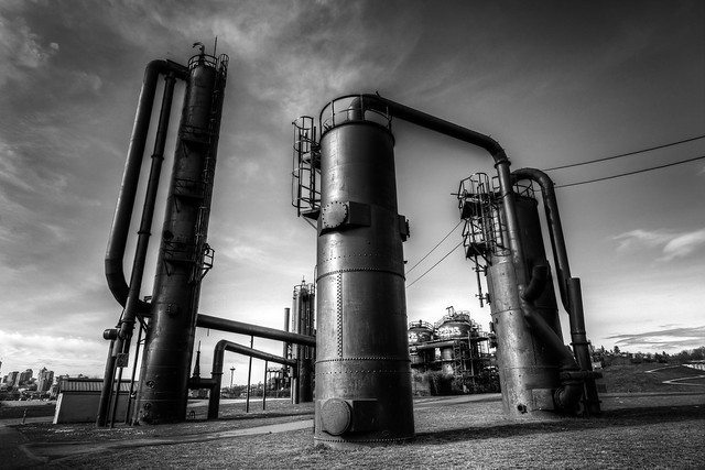
Gas Work Park

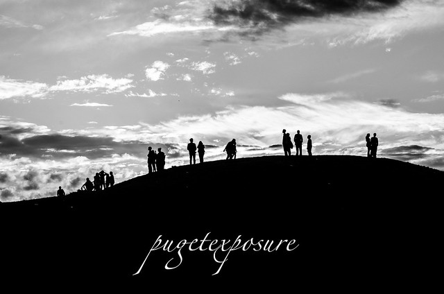
Great Mound, Silhouetee Gas Works Park
Great Mound Silhouette
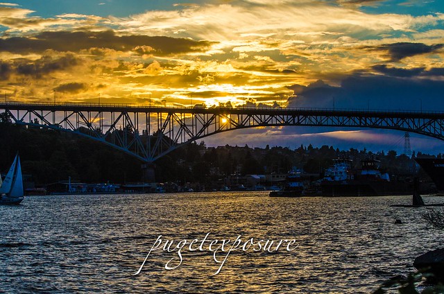
Aurora Bridhge Sunset
Aurora Bridge Sunset
Space Needle Lake Union
Cleated Space Needle
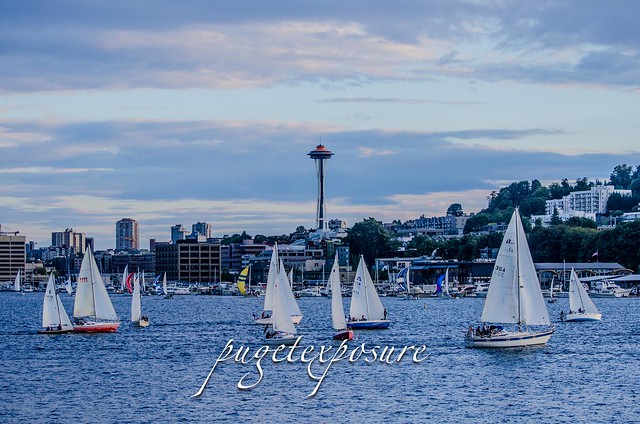
Dock Dodge Races on Lake Union
Tuesday Night Duck Dodge Sailboat Rave, Lake Union
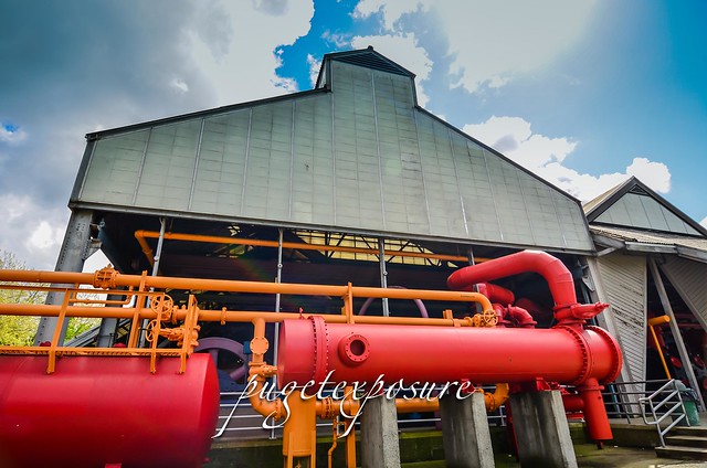
Seattle Gas Works Pipes Users may not manipulate or use this photo in commercial materials, advertisements, emails, products, or promotions without licensed permission
Seattle Gas Works Pipes Postcards, Art Prints and Canvas Prints are available for sale here

  Gear Used:
 
lens rental