Lime Kiln Lighthouse

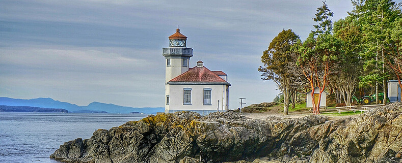
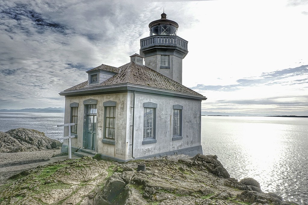
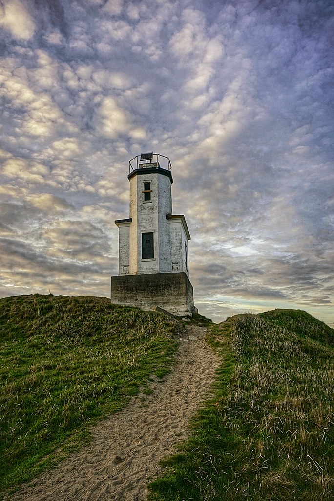
Lime Kiln Lighthouse on the west side of San Juan Island, Washington

Lime Kiln Lighthouse on the west side of San Juan Island, Washington

Lime Kiln Lighthouse on the west side of San Juan Island, Washington

Lime Kiln Lighthouse on the west side of San Juan Island, Washington

Lime Kiln Lighthouse on the west side of San Juan Island, Washington

Showing posts with label puget sound. Show all posts

Monday, March 9, 2015

No. 306 San Juan County Park Campground

San Juan County Park

San Juan Park Road
Friday Harbor, WA 98250


San Juan County Park is located on the western side of San Juan Island along the shore of Smallpox Bay. Its is both a day use and overnight campground taht features a gravel beach inside Smallpox Bay, a boat ramp, 20 campsites spread over 12 acres, Picnic Tables, Fire pits and seasonal water and toilets. Its a popular canoe and kayak launch area for paddlers. 
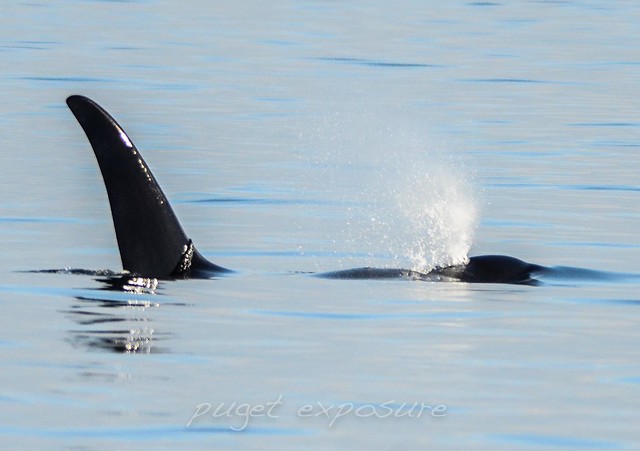
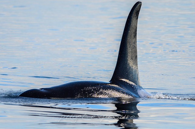
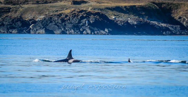
A variety of wildlife can be scene from shore such as eagles, otters, herons, and the occaional orca whale passing by on their way to Lime Kiln State Park 
San Juan County Park is equal distance from Roche Harbor or Friday Harbor about a 25 minute drive. 
The peak park visitor season is from May through September. To make a reservation check out the parks website http://www.co.san-juan.wa.us/parks/sanjuan.aspx


San Juan County Park
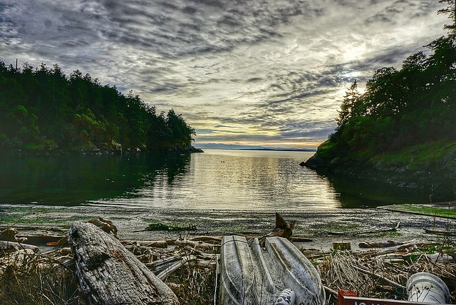
Smallpox Bay, San Juan Island
San Juan County Park
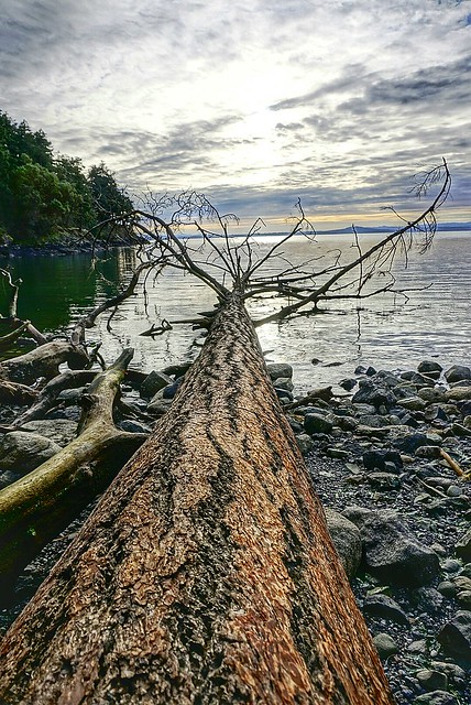
Fallen Tree 
San Juan County Park

Wednesday, March 4, 2015

No. 305 Lime Kiln Lighthouse State Park

Lime Kiln Point State Park
1567 Westside Road
Friday Harbor, Wa 98250
Hours: 8am to Dusk

MAP IT 


Lime Kiln Lighthouse State Park


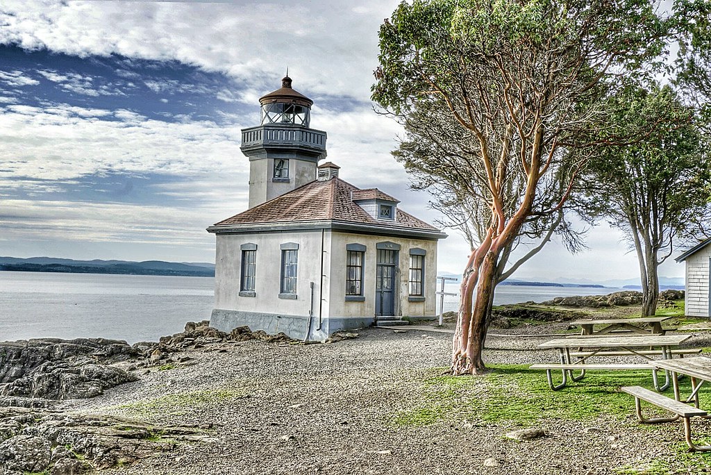
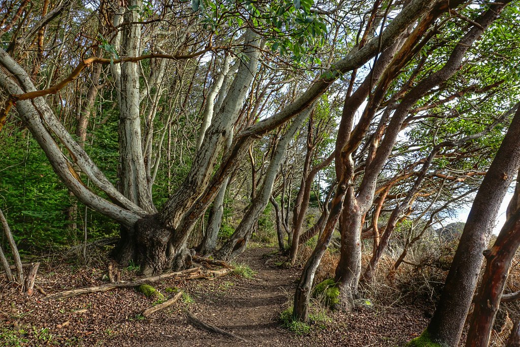
Lime Kiln Point State Park is located on the western side of San Juan Island. The 36 acres state park features over a mile of trails that wander down to the waters edge and through a grove of pacific madrone tree to the Lime Kiln Lighthouse. Beginning in the 1860s the west side of San Juan Island was quarried for lime stone and a good portion on the island was deforested to feed the fires that transformed limestone into lime, which was then used in construction mortar.
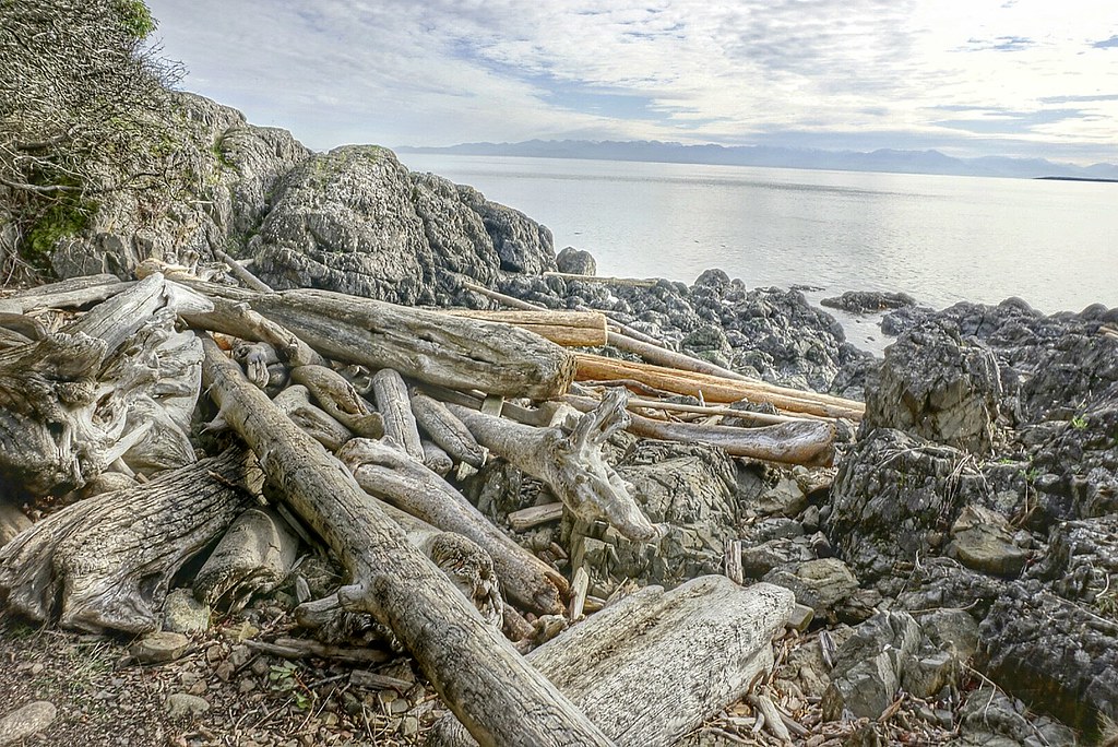
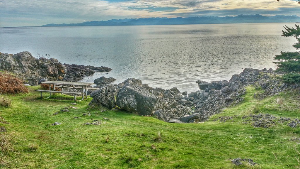
A shoreline viewpoint is about a 10 minute walk from the parking lot. The rocky shoreline plunges to over 900 feet in depth quickly. Through the daily tidal currents from Haro Straight into the Gulf of Georgia nutrients rich waters are pushed up against the island attracting a variety of marine life to congregate just off shore including fish, otters, sea lions, seals, minke whales and orca whales that come to play in the kelp beds and hunt for salmon.
Depending on the time of year Lime Kiln Point is a popular land based whale spotting location.

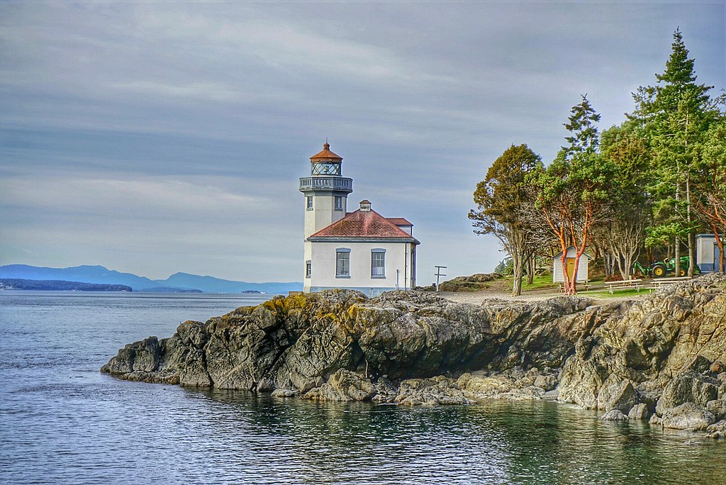
Lime Kiln Lighthouse is a 38 foot octagonal building built on a rock cliff 20 feet above the waterline and the fourth-order Fresnel lens was first light in 1919. The lighthouse tower was built atop of a fog signal building. In 1951 the Bonnevile Power Administration laid a submarine power cable from Anacortes, WA to San Juan Island and the Fresnel lens was replaced by a non-rotating electric bulb, and two electric foghorns were installed. The light station became fully automated in 1962.
In 1984 the lighthouse station and grounds were turned over by the United States Coast Guard to  Washington State Parks. The USCG still maintains the lighthouse tower as an active aid to marine navigation, but the building is used by the Friends of Lime Kiln Society as an Interpretive Center for Special Events and Tours.

Discover Pass: An Annual Discover Pass or a Day Use fee is required for vehicle access to the park for day use. No over night parking


Lime Kiln State Park

Lime Kiln Lighthouse State Park Lime Kiln Lighthouse State Park Lime Kiln Lighthouse State Park Lime Kiln Lighthouse State Park Lime Kiln State Park

Saturday, February 28, 2015

No. 304 Cattle Point Lighthouse

Cattle Point Lighthouse
Cattle Point RdFriday Harbor, WA 98250

MAP IT 

Cattle Point Lighthouse


Cattle Point Light is a lighthouse on southern tip of San Juan Island in an area known as Cattle Point, in the Haro Straits of Washington. The first navigational aid on Cattle Point was a lens lantern established in 1888. George Jakle, a soldier who had been stationed at American Camp and had remained on the island raising sheep, was paid to maintain the light. Jakle would tend the light each day and fill the lantern's reservoir each week, using kerosene from five-gallon barrels that were offloaded at nearby Griffin Bay every couple of months by a lighthouse tender. 
A radio compass station was established at Cattle Point by the Navy in 1921, and sailors serving there took over maintenance of the light. Using bearings from that stations at Cattle Point, New Dungeness Spit, and Smith Island, ships sailing through the Strait of San Juan de Fuca could pinpoint their location even in dense fog.
The modern 34-foot (10 m), octagonal, concrete tower on Cattle Point was erected in 1935. The lighthouse is located adjacent to the Cattle Point Natural Resources Conservation Area, which is managed by the State Department of Natural Resources, so a Discovery Pass is required for your vehicle. Parking is available near a picnic shelter housed in an old powerhouse, leftover from the Naval Radio Compass Station. Trails lead from the conservation area's shelter to the lighthouse.

Friday, December 5, 2014

No. 301 Save Big on 2015 Whale Watching Tours

2014 was an incredible season.  From christening the Island Explorer 4 to seeing whales every day since May 2014, this year will go into the record books.  Check out the whale report to re-live all of the 2014 tours!   View the Whale Report 

ALL GIFT CERTIFICATES AND TOURS FOR 2015

Save 50% off the regular ticket price now through December 24th, 2014 .
You can take advantage of the huge savings one of two ways:
  1. Call or stop in to purchase a gift certificate to put under the tree. This would also make a great gift for yourself if you are unsure of when you would like to join us for a trip.     OR
  2. If you already know when you'd like to go whale watching, book your 2015 tour online with the promo codes below and instantly receive the incredible savings.
With this great deal, you have the choice to depart out of any of our three departure locations:
  • Everett 3 hour guaranteed whale watching tour - March 7 through May 8
    • Adults -- ONLY $34.50 + taxes (regular price $69)
    • Children -- ONLY $24.50 + taxes (regular price $49)
    • Book for a specific date online with code HOLIDAY1
  • Anacortes (April - October) or Port Angeles (May - October) guaranteed whale watching tour 
    • Adults -- ONLY $54.50 + taxes (regular price $109)
    • Children -- ONLY $24.50 + taxes (regular price $49)
    • Book for a specific date online with code HOLIDAY2
Hurry! This deal expires on December 24, 2014 at 3PM - call 1-800-465-4604or book your 2015 tour online to take advantage of 50% savings!


Whale Watching Reviews and Highlights 


Naturalist trade microphones for dock lines
Island Explorer 4 Arrives in Everett, WA

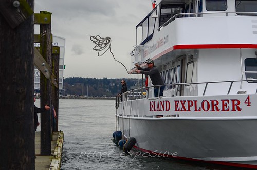
New to Island Adventures in 2014, the Island Explorer 4 is the little sister to the Island Explorer 3. She is 85 ft long and 24 ft wide, with a full walk around lower deck, spacious upper viewing deck, galley with hot food and beverage for purchase, his and her restrooms, over 300 sq. ft. of outdoor rail viewing space, and has comfortable booth style seating in her indoor heated cabin.


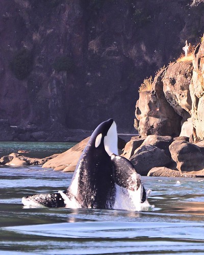
Male Orca Whale Breaching Puget Sound Island Adventure Tour from Anacortes, WA

Based out of Anacortes, Washington, only 90 minutes north of Seattle and 90 minutes south of Vancouver, BC. Anacortes is located on the mainland and is known as the “Home Port” to the San Juan Islands, providing the perfect departure point for our Orca Whale Watching & Wildlife Cruises.
Island Adventures operates a 101 ft. long, 24 ft. wide, 2 story, 99 ton whale watching vessel called "Island Explorer 3." The vessel has a range of 750 miles but daily wildlife excursions are limited to 5hr & generally are 60-90 miles in duration. 
Port Angeles, WA Tour


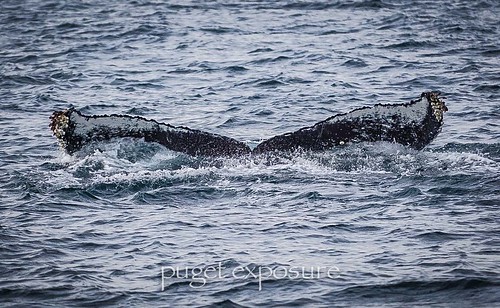
Humpback Tour from Port Angeles, WA 


Introduced in 2014 Island Adventures adds a new destination for marine life viewing in the Puget Sound. Island Explorer 4 departs   Port Angeles, WA in late summer for humpback whale sightings 

Sunday, July 13, 2014

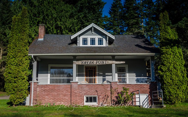
No. 290 Kayak Point Park

Kayak Point Regional County Park
15610 Marine Drive Stanwood, WA 98292
MAP IT 
Website

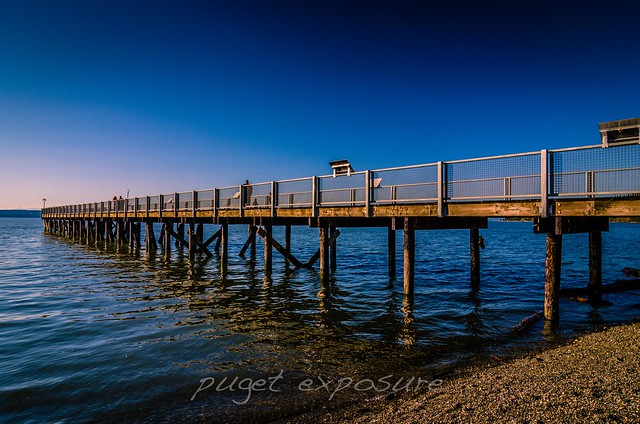
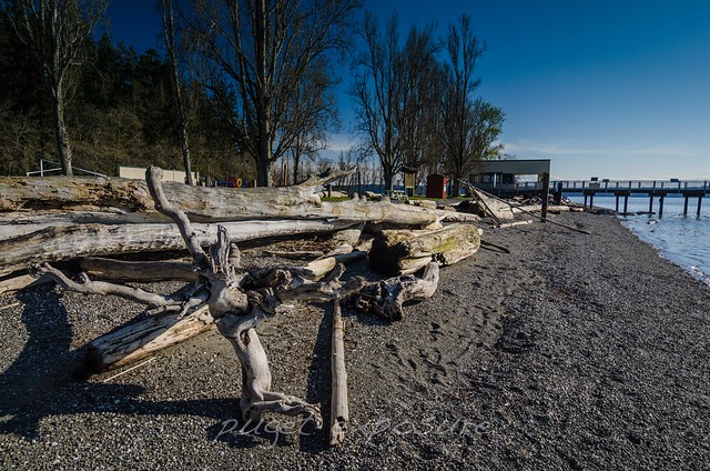
Kayak Point Park is on the eastern shore of Port Susan Bay. The park has over a half mile of saltwater beach access which makes it a popular destination for picnicking, boating and swimming. There is a fishing pier that extends 300 feet out into Port Susan and at the far end the water depth is 50 feet, which places fisherman on top of a variety of fish such as flounder, sole, true cod, rockfish, and walleye pollock year-round and migrating sea perch in spring and summer. Baited crab pots are used to attract Dungeness and red rock crab to the pier.
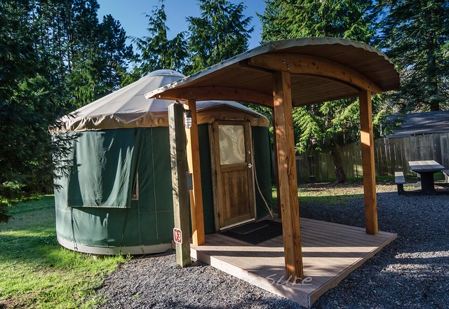
Kayak Point is also a great place to go camping close to home. Whether it is in your personal tent nestled in the tall trees with electric hook-up and water, or in the newly constructed 4 person yurt cabins or stay at the Kayak Kottage Vacation House.


Kayak Point Beach Park
Kayak Point Beach front 
Kayak Point Beach Park
Kayak Point Beach Shelters 
Kayak Point Beach Park
Fishing Pier
Kayak Point Beach Park

Kayak Point Yurts
Camping Yurt 
Kayak Point Cottage
3 story Kayak Kottage 
Kayak Point Cottage

Kayak Point Cottage

Monday, July 7, 2014

No.289 Super Pod with Island Adventures

Island Adventures
http://www.island-adventures.com/
1801 Commercial Ave
Anacortes, Wa
1-800-465-4604

Back out on the waters of Puget Sound with Captain Scott and crew for a sunset sailing aboard
Island Explorer 4.
Arrived early in Anacortes to check in with Island Adventures and then it was off to grab some lunch and scenic views atop of Cape Sante Point before heading down to the marina to board the 3:30pm sailing.
Cape Sante Point
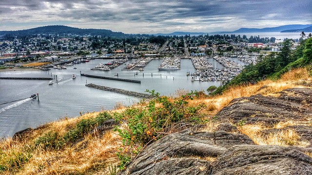
looking west from Cape Sante Point overlooking the marina 

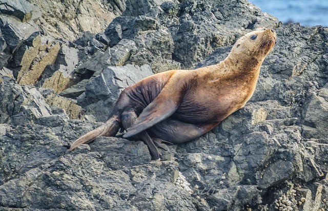
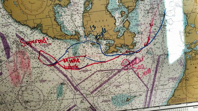
Trip started off with motoring out into Rosario Straight past Washington Park, Burrows Island and Allan Island before crossing over to the south end of Lopez Island where we came across an out of season Steller Sea Lion and harbor seals on "Swirl Rocks."
Stellar Sea Lion
Steller Sea Lion out on the rocks

Trip White Board

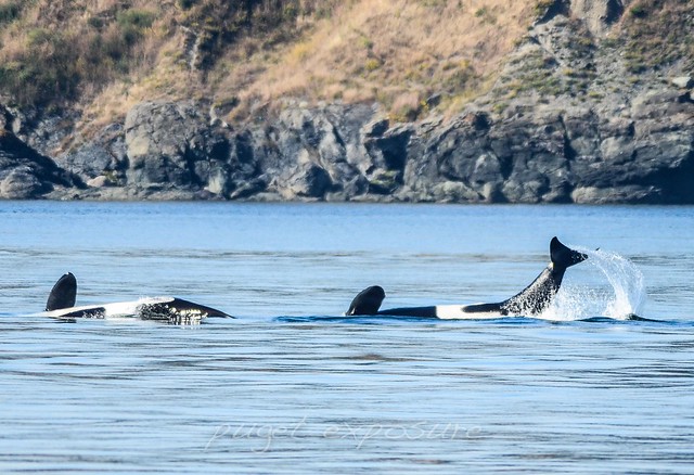
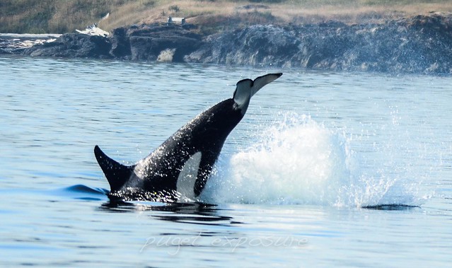
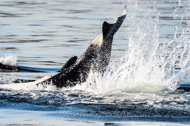
After about an hour we arrived at the south end of San Juan Island and saw a group of Orcas near the shores of South Beach. It was soon pretty evident that we found ourselves in the middle of a      Southern Resident Killer Whales Super Pod with members of J, K, and L Pods surrounding the boat on every side. Spent about an hour on scene with this super pod before heading home during sunset


Super pod of L-Pod orcas Cruiser Orca Whale playful orcas playful orcas Cruiser Orca Whale Cruiser Orca Whale
Lopez Island Sunset
setting sun behind Lopez Island, WA


Cape Sante Marina Sunset
Arriving back in port just as the sun is setting on a great day 


Things to do in washington state, orca, killer whales, whale watching, boat trips, puget sound boating, puget sound whales, island adventures, san juan island, lopez island, whale watching trips, pugetexposure, pugetexposure.com, seattle, things to do while in seattle

Tuesday, July 1, 2014

No. 287 Jetty Island, Everett Washington

Jetty Island
Everett, WA
Website : http://www.portofeverett.com/home/index.asp?page=87

The Short Stack 
Jetty Island Ferry runs from July 5th through Labor Day 2014
departure times
M-Th 10am-6pm
F, Sa 10am-9pm
Su 10am-7pm

Pick up boarding passes at the boat launch kiosk. Select return passes on the island. 

Jetty Island, Everett Washington
Sand, Surf, Wind and Waves just minutes from downtown Everett


Everett's industrial look of concrete and manufacturing disappears in a matter of minutes on the west side of Jetty Island. More than 50,000 residents and tourists visit this 2 mile long man made island which is only a few hundred feet across Port Gardner Bay from Port of Everett. 
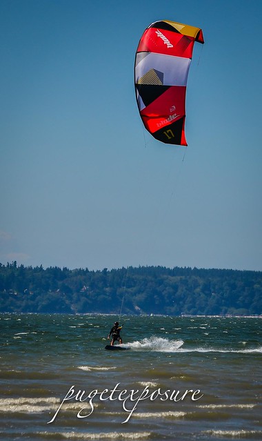
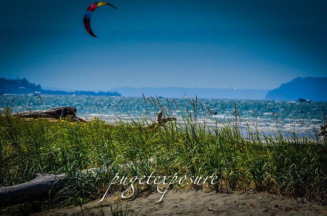
The steady afternoon winds which attract kite boarders from around the area today to Jetty Island have been around much longer than the island itself. Dunes, sandy beaches, birds and plants are a recent addition to the seascape around Everett. 
During Everett's heyday and expansion in the 1890s plans were drawn up to add a fresh water harbor at the mouth of the Snohomish River for ships to import and export goods from the surrounding area. This required controlling the Snohomish River and changing the seascape around the waterfront.
Construction on the training dike to divert the Snohomish River began in 1896 but a poor design and increased competition from Seattle for monies from the Army Corps of Engineers hampered the project and many parts of the original construction where never completed. 
Throughout the decades the Army Corps of Engineers continued to dredge Snohomish River to keep up with the amount of sediment being deposited in Port Gardner Bay and redepositing it on the west side of the 1920's bulkhead increasing its land mass above the waterline. After nearly 80 years of dredging the river enough material had been transplanted that a man made island started to take shape. By the 1970s local interest in the island for recreation and wildlife habitat surpassed support for a commercial use.
Today Jetty Island is 2 miles long and is a top tourist destination and wildlife conservation area. Its sandy beaches, mud flat and salt water marshes provide important habitat to over 115 species of birds.
Jetty Island is open year round to those with means to make the float across Port Gardner Bay and that can put up the elements such as tidal shift, winds and inclement weather.
The City of Everett runs a free ferry service to the island during the summer for those with out a paddle or boat.

How to get to Jetty Island
Park at the Marine Park and head to the Ferry Information booth behind the Whale Tail Sculpture. Ferry departs every 30 minutes but you must collect a boarding pass for everyone in your party before getting on the boat. The small ferry boat is limited to 60 passengers per crossing so you might have to wait until you get aboard. Once on Jetty Island you pick up your return time boarding card. Same as with departure, every one in your group must have a boarding pass. 2pm-4pm return crossings are very popular so you might have to spend a few hours on the island before the next available boat. People do tend to run late and miss their scheduled time so there is a "Standby Line" for those that want to leave earlier than planned. Its first come first serve. If you are late to your scheduled departure they will give those seats to people waiting in the Standby line. Crew members will explain this procedure on land, on the boat and again on the island.
Picnic Shelters and Bathrooms are located near the ferry dock on the island. Also the ONLY ones, so plan bathroom breaks accordingly to how far down the beach you are headed.
Jetty Island is tidal so check the current tides before heading out and also plan on bringing warmer clothes for the winds and lower temperature. Kite Boarders love this place for a reason ..THE WIND.

Here's how the ferry service works: When you arrive at the Everett public boat launch, there is a Jetty Island kiosk near the water, where you pick up a placard with a time on it (the next available ferry). About 60 people fit on the ferry, which runs every 30 minutes. When you get across to the island, pick up a placard for the time you want to return. - See more at: http://www.seattleschild.com/article/parent-review-jetty-island-days-in-everett#sthash.8y5NSCzo.dpuf


Jetty Island, Everett Washington
Jetty Island, Everett Washington Jetty Island, Everett WashingtonJetty Island, Everett Washington Jetty Island, Everett Washington Jetty Island, Everett Washington Jetty Island, Everett Washington Jetty Island, Everett Washington Jetty Island, Everett Washington Jetty Island, Everett Washington Jetty Island, Everett Washington Jetty Island, Everett Washington Support Puget Exposure


 We love to bring you guys the updates to best and greatest photography locations in and around Seattle and the greater Puget Sound area, photography tips and gear related stuff. However, we can’t keep doing that unless we have your continued support. If you would like to purchase any of images featured in an article, please do so by clicking HERE or on the Post Cards and Prints tab above in the header. You can also make secure donation to the travel fund via PayPal. If you frequently shop on Amazon.com, by clicking on the Amazon links listed below you can continue to browse Amazon and any purchase you make will give us a small portion of the sale to continue to run this website. Washington State travel, Washington State travel, Washington Destinations, Photography, Photography spots, best things to do in Seattle, Best things to in Washington State, Washington Tourism Alliance, Washington State Tourism board, recommendations, recommendations for things to see in washington state, things to do in washington state, things to do in seattle, things to do in Tacoma washington, Washington Photographers, Washington nikon shooters, best seattle photography, washington exploration, experience washington, what to do while visiting seattle, seattle top attractions, seattle food, Space Needle, Explore Washington State, Puget Exposure Photography, Puget Exposure, Road Trips through Washington State, Weird Washington, King County, Snohomish County, Seattle, Everett, Tacoma, Kent, Redmond, Kirkland, Washington Sunrises where and when, Washington State Weather, Jetty, Jetty Island, Washington
Monday, June 30, 2014

No. 286 Edgewater Beach Park, Mukilteo

Edgewater Beach Park
920 1st St
Mukilteo, WA
MAP IT 

Last week the city of Mukilteo, Washington State Ferries and City of Everett opened up a temporary pedestrian path to access Edgewater Beach Park. The 22 acres of shoreline north of Mukilteo Ferry Terminal have been closed to the public for over 40 years. A temporary path is located at the north end of the parking lot for the Mukilteo Train Station. It is about a 1/3 mile walk to the beach area. 

There is a small beach area behind the Silver Cloud Inn that is accessible on the north side of building depending on the tide level. 
Next to the Silver Cloud Inn is the 2 story NOAA Mukilteo Research Lab. For 40 years NOAA scientist have been looking into why certain areas of the ocean are more acidic than others and how fish are affected by water pollution. The waters around Point Elliott / Mukilteo are some of the cleanest waters and being so close to shore makes it an ideal location for a research. The sea floor of Possession Sound drops quickly to 600 feet keeping the waters clean, a constant temperature and average salt content. That makes Point Elliott a good sampling area for collecting uncontaminated samples of marine life for study. Future plans may include expanding the NOAA Lab to be more accommodating to the public by including educational exhibits. 
The land on which the NOAA Lab is located on was owned by the United States Air Force from 1951 to 2013. 
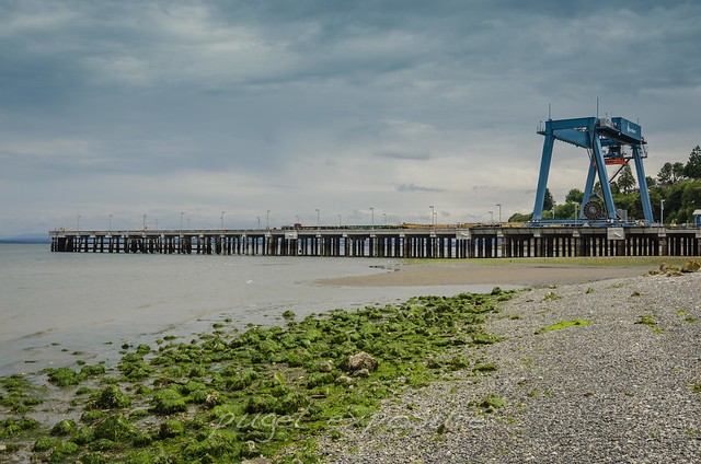
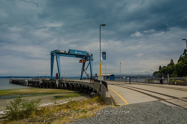
From 1951 to the mid 1980s the U.S. Air Force maintained the Mukilteo Fuel Farm as part of a network of Puget Sound area bulk fuel farms. The fuel farm supplied aviation fuel, crude and lubricants to the aircraft stationed at Paine Air Force Base. Additionally there are 38 storage tanks holding up to 60 million gallon of fuel and 11 miles of pipeline under the Puget Sound to that now supply fuel to area military branches such as the submarine base, Army bases, Naval Air Stations and US. Coast Guard Stations. 
In 2013 the United States Air Force turned over the decommissioned fuel farm and property to the City of Everett. Future plans include upgrading the train station, reposition the Washington State Ferry Terminal to the former fuel dock and turning the waterfront into a multi-use business and recreation destination over the next 15 years. 
Mukilteo Tank Farm
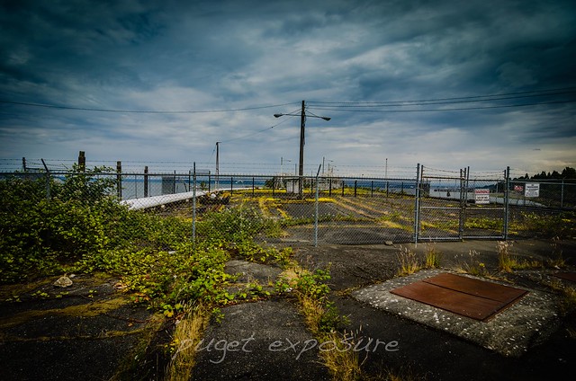
Over grown train tracks leading up to the decommissioned Air Force Fuel Dock
Edgewater Beach Park Mukilteo
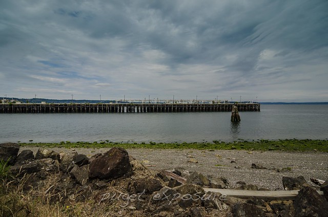
The former fuel dock stretches 800 feet into Point Elliott where Tanker Ships delivered aviation fuel for the Air Force
Edgewater Beach Park Mukilteo
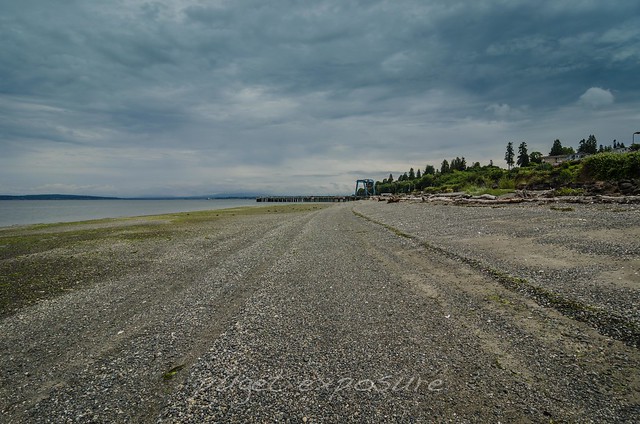
Low Tide at Edgewater Beach 
Edgewater Beach Park Mukilteo
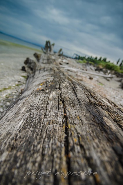
Driftwood piles up at the tidal plane at Edgewater Beach 
Port of Everett / Boeing Assembly
at the north end of Edgewater Beach is Port of Everett's Mount Baker Terminal
Port of Everett / Boeing Assembly
Port of Everett Mount Baker Terminal receives barges filled with Boeing fuselage part from over 40 international suppliers including China, Japan. Cargo containers are placed on train cars and then taking up to the Boeing Everett Plant along one the steepest track grades in the US. 


Mukilteo fuel farm, exploring mukilteo history, the air force in mukilteo, paine field air force base, planes, snohomish county tourism, port of everett, city of mukilteo, puget sound waterfront