Lime Kiln Lighthouse

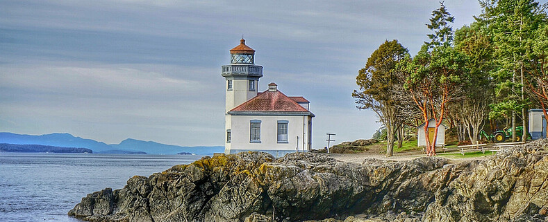
Lime Kiln Lighthouse on the west side of San Juan Island, Washington

Lime Kiln Lighthouse on the west side of San Juan Island, Washington

Lime Kiln Lighthouse on the west side of San Juan Island, Washington

Lime Kiln Lighthouse on the west side of San Juan Island, Washington

Lime Kiln Lighthouse on the west side of San Juan Island, Washington

Showing posts with label lighthouse. Show all posts

Wednesday, March 4, 2015

No. 305 Lime Kiln Lighthouse State Park

Lime Kiln Point State Park
1567 Westside Road
Friday Harbor, Wa 98250
Hours: 8am to Dusk

MAP IT 

Lime Kiln Lighthouse State Park


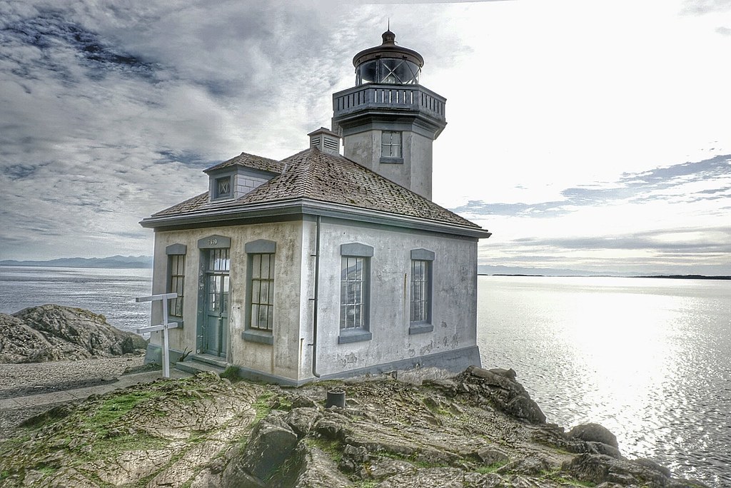
Lime Kiln Point State Park is located on the western side of San Juan Island. The 36 acres state park features over a mile of trails that wander down to the waters edge and through a grove of pacific madrone tree to the Lime Kiln Lighthouse. Beginning in the 1860s the west side of San Juan Island was quarried for lime stone and a good portion on the island was deforested to feed the fires that transformed limestone into lime, which was then used in construction mortar.
A shoreline viewpoint is about a 10 minute walk from the parking lot. The rocky shoreline plunges to over 900 feet in depth quickly. Through the daily tidal currents from Haro Straight into the Gulf of Georgia nutrients rich waters are pushed up against the island attracting a variety of marine life to congregate just off shore including fish, otters, sea lions, seals, minke whales and orca whales that come to play in the kelp beds and hunt for salmon.
Depending on the time of year Lime Kiln Point is a popular land based whale spotting location.

Lime Kiln Lighthouse is a 38 foot octagonal building built on a rock cliff 20 feet above the waterline and the fourth-order Fresnel lens was first light in 1919. The lighthouse tower was built atop of a fog signal building. In 1951 the Bonnevile Power Administration laid a submarine power cable from Anacortes, WA to San Juan Island and the Fresnel lens was replaced by a non-rotating electric bulb, and two electric foghorns were installed. The light station became fully automated in 1962.
In 1984 the lighthouse station and grounds were turned over by the United States Coast Guard to  Washington State Parks. The USCG still maintains the lighthouse tower as an active aid to marine navigation, but the building is used by the Friends of Lime Kiln Society as an Interpretive Center for Special Events and Tours.

Discover Pass: An Annual Discover Pass or a Day Use fee is required for vehicle access to the park for day use. No over night parking
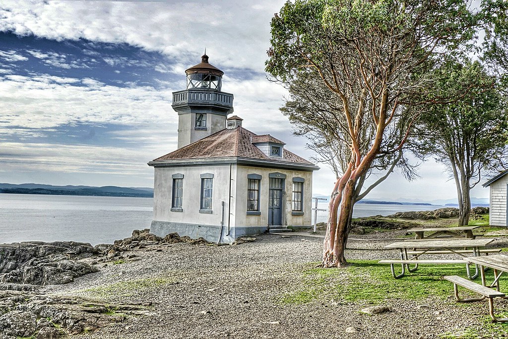
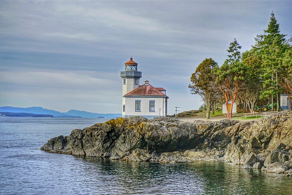
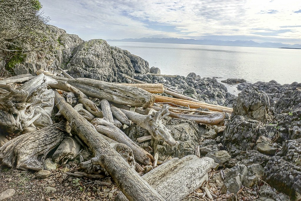
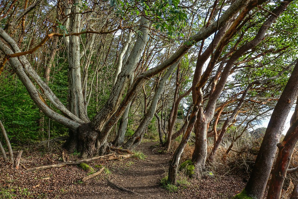
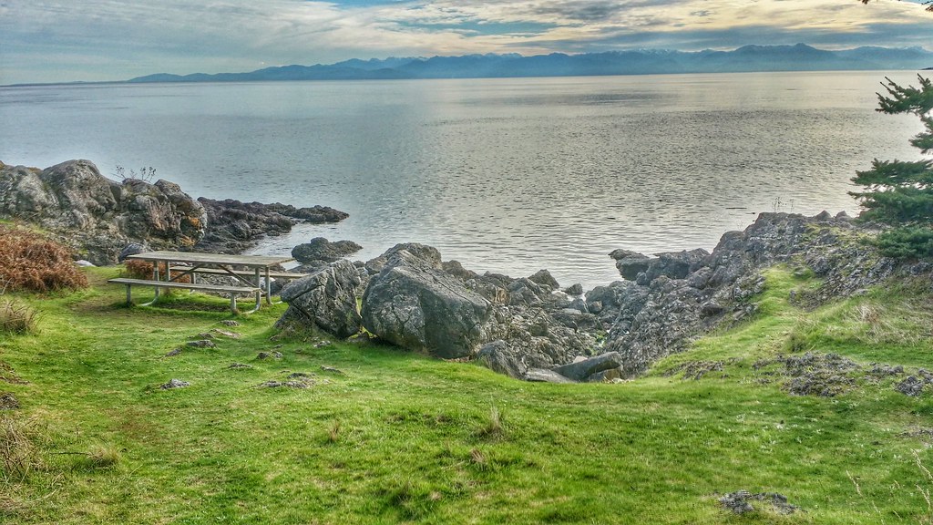


Lime Kiln State Park

Lime Kiln Lighthouse State Park Lime Kiln Lighthouse State Park Lime Kiln Lighthouse State Park Lime Kiln Lighthouse State Park Lime Kiln State Park

Saturday, February 28, 2015

No. 304 Cattle Point Lighthouse

Cattle Point Lighthouse
Cattle Point RdFriday Harbor, WA 98250

MAP IT 

Cattle Point Lighthouse


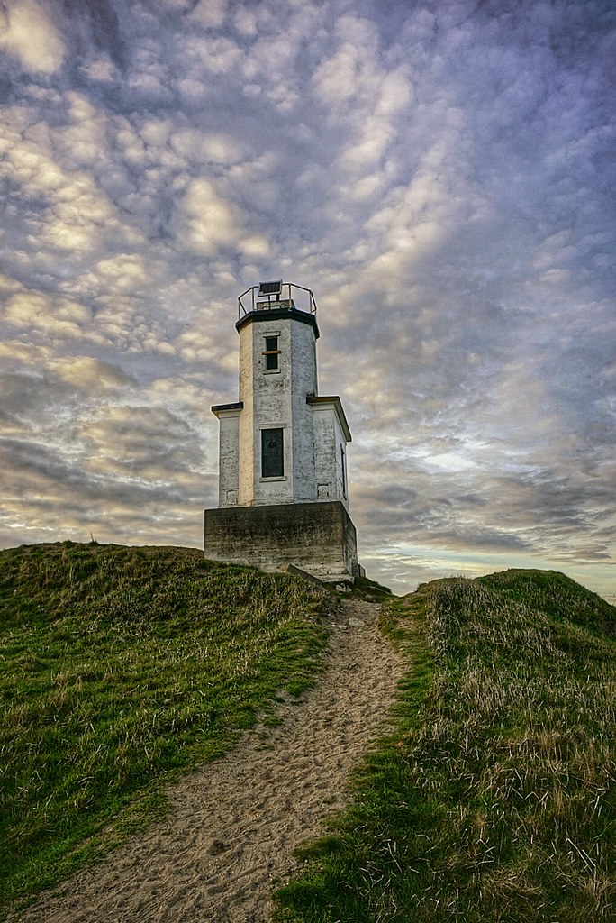
Cattle Point Light is a lighthouse on southern tip of San Juan Island in an area known as Cattle Point, in the Haro Straits of Washington. The first navigational aid on Cattle Point was a lens lantern established in 1888. George Jakle, a soldier who had been stationed at American Camp and had remained on the island raising sheep, was paid to maintain the light. Jakle would tend the light each day and fill the lantern's reservoir each week, using kerosene from five-gallon barrels that were offloaded at nearby Griffin Bay every couple of months by a lighthouse tender. 
A radio compass station was established at Cattle Point by the Navy in 1921, and sailors serving there took over maintenance of the light. Using bearings from that stations at Cattle Point, New Dungeness Spit, and Smith Island, ships sailing through the Strait of San Juan de Fuca could pinpoint their location even in dense fog.
The modern 34-foot (10 m), octagonal, concrete tower on Cattle Point was erected in 1935. The lighthouse is located adjacent to the Cattle Point Natural Resources Conservation Area, which is managed by the State Department of Natural Resources, so a Discovery Pass is required for your vehicle. Parking is available near a picnic shelter housed in an old powerhouse, leftover from the Naval Radio Compass Station. Trails lead from the conservation area's shelter to the lighthouse.

Thursday, June 12, 2014

No. 279 Alki Lighthouse, West Seattle

Alki Lighthouse
3211 Point Pl SW, Seattle, WA 98116
MAP IT 


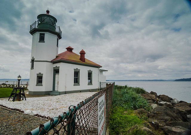
Alki Lighthouse West Seattle
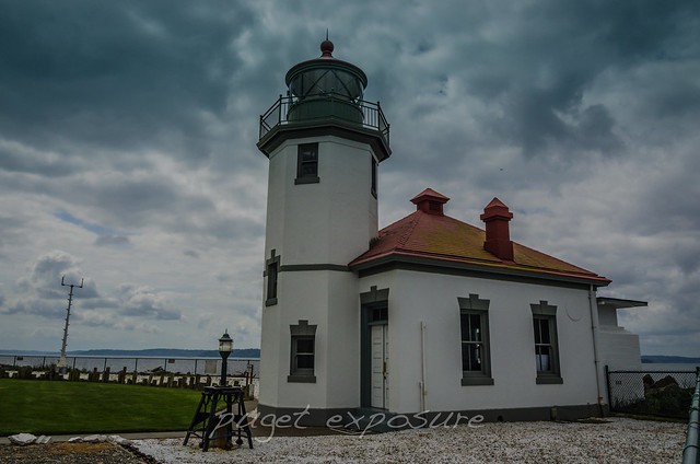
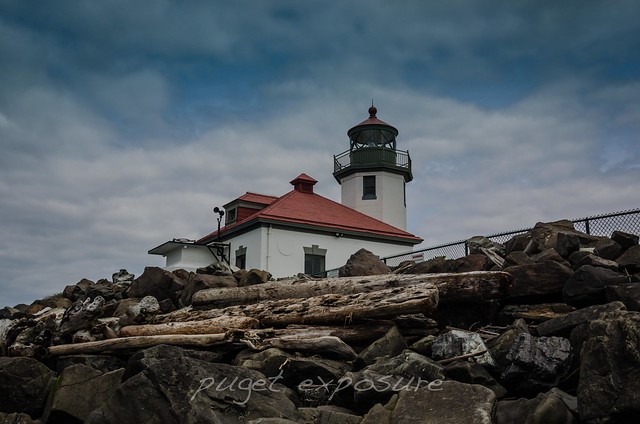
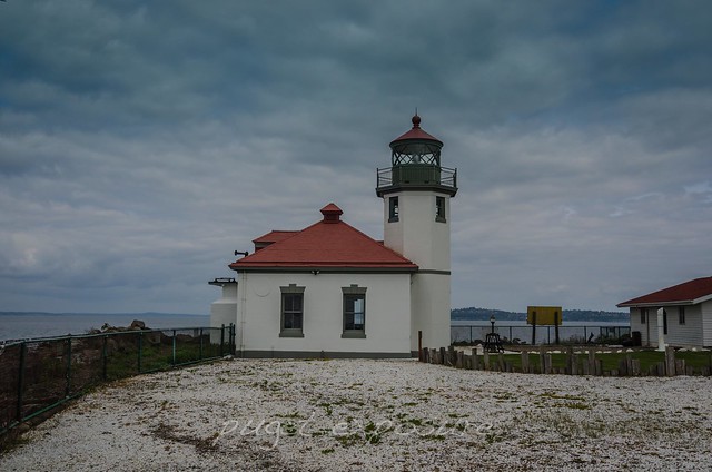
First lit on June 1st, 1913 the Alki Lighthouse helped seamen find the southern entrance into the Seattle’s Elliot Bay replacing oil lamp signal that was previously used. It was one of 13 lighthouses on the Puget Sound.  The lighthouse had three Head Keepers from 1913 to 1970 when the last lighthouse keeper Albert G. Anderson retired. The United States Coast Guard took control of the lighthouse and dwellings in 1939 although the maintenance of the fourth-order fresnel lens was given to keepers who served either in the USCG or as civilian lighthouse keepers. 
In 1962 Alki’s fourth-order Fresnel lens was replaced with a more powerful airway beacon. There is a replica fresnel lens inside the lighthouse and the original lens is located in the USCG Museum in Seattle. USCG staff would stand 8 hour shift at Alki and turn on the beacon light 30 minutes before sunset and turn it off 30 minutes after sunrise. After 1984 the lighthouse became fully automated and the keeper dwellings were refurbished to house senior USCG Officers. The fog horn was silenced in 2005 and since 2007 the Alki Grounds is home to the USCG Commander of the 13th District. 
USCG Auxiliary provides tours of the lighthouse on weekends throughout the summer beginning in June. 

Because the lighthouse grounds are part of USCG property and the home to the Commander of the 13th District the grounds are only open to the public on weekends when the Coast Guard Auxiliary provides tours. 

You can however still get close enough to the property during low tide by walking along Alki Beach from the north or south depending on where you park your car. During high tide your best view will come from the water either from a boat or kayak. 
Alki Lighthouse West Seattle Alki Lighthouse West Seattle Alki Lighthouse West Seattle Washington State travel, Washington State travel, Washington Destinations, Photography, Photography spost, best things to do in Seattle, Best things to in Washington State, Washington Tourism Alliance, Washington State Tourism board, recommendations, recommendations for things to see in washington state, things to do in washington state, things to do in seattle, things to do in Tacoma washington, Washington Photographers, Washington nikon shooters, best seattle photography, washington exploration, experience washington, what to do while visiting seattle, seattle top attractions, seattle food alki lighthouse, where is the alki lighthouse, lighthouses on the puget sound 

Sunday, March 2, 2014

No. 244 North Head Lighthouse, Cape Disappointment, WA

North Head Lighthouse
N Head Lighthouse Rd, WA 98624

MAP IT


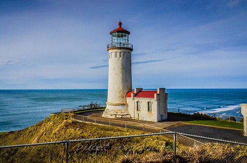
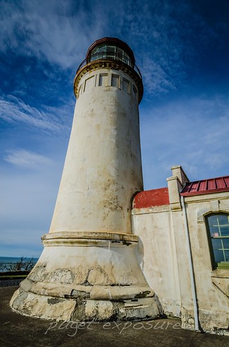
North Head Lighthouse

Construction of the 65' foot cement and plaster lighthouse was completed in 1897, 40 years after the Cape Disappointment Lighthouse, and its first-order Fresnel lens, which came from Cape Disappointment, was lit for the first time on May 16, 1898.
Mariners approaching the mouth of the Columbia River from the north side complained that they were unable to see the light from Cape Disappointment until they were nearly on top of the sandbar. The numbers of shipwrecks to north of the cape convinced the Lighthouse Board to make plans for adding an additional lighthouse.
The North Head Lighthouse stands 194' feet above sea level and has 69 steps leading to the lantern room. Because there are 2 lighthouses so close to each other they needed to be visually different both day and night. The North Head Lighthouse has a solid white exterior plaster finish and a white signal light. The Cape Disappointment Lighthouse has a 10 foot solid black stripe around its midsection and has an alternating white and red flash sequence.


North Head Lighthouse North Head is one of the windiest places in the United States, with wind velocities in excess of 100 mph being frequently measured. On January 29, 1921, winds were clocked at 126 mph before the measuring instrument blew away.
On April 19, 1932, a wild duck went crashing through the storm panes in the lantern room and caused slight damage to the lens. Wire nets had been placed around lantern rooms at other stations to prevent such occurrences.
The original lens was replaced by a fourth-order lens in 1935, when electricity came to the station. Seven years later, on June 22, 1942 at 12:35 a.m. the keeper was ordered to turn off the light. Fort Stevens, Oregon had just been fired upon by a Japanese submarine, and as part of a strategy to keep the location of Fort Stevens and Fort Canby hidden, the surrounding lighthouses were darkened until the danger was over.
Two of the Fresnel lenses used at North Head Lighthouse have been preserved. The first-order lens can be seen at the Lewis and Clark Interpretive Center, inside Cape Disappointment State Park, and the fourth-order lens is housed at the Columbia River Maritime Museum in Astoria, Oregon. The two aero beacons remained in the lantern room during the 1990s, but they were replaced around 1998 by a modern beacon lit by a twelve-volt bulb that is on a six-bulb appliance that rotates in a new bulb when one burns out.
The title to the lighthouse and its surrounding property were transferred from the USCG to Washington State Parks in 2012.
Head Keepers: Alexander K. Pesonen (1898 – 1924), Andres G. Siniluoto (at least 1930 – at least 1936), Leonard W. Gabriel (at least 1940).


Saturday, March 1, 2014

No. 243 Cape Disappointment Lighthouse

Cape Disappointment Lighthouse


Cape Disappointment State Park covers 1,882 acres, has 2 miles of ocean beaches and features 2 lighthouses the Cape Disappointment Lighthouse and the North Head Lighthouse. The cliff at the southern tip of the park rise to over 230 feet above the Pacific Ocean. There are many trails that traverse the state park and lead you to the lighthouses and interpretive center. There are primitive to full utility sites available for tents and RV's and you can also reserve yurts via the state website. Modern bathroom facilities have coin operated hot showers.

Cape Disappointment Lighthouse Ilwaco WA


The Columbia River, named after Captain Robert Grey's vessel Columbia Redivivia in 1792, travels nearly 1,200 miles from its source in the Canadian rockies before reaching the Pacific Ocean at Cape Disappointment. The width and strength of the Columbia River causes lots of sand and sediment to build up at the mouth of the river. The rapid flowing river over the shallow sand bar colliding with the Pacific Ocean creates one of the worlds most dangerous waterways. Between 1725 and 1961 234 ships have run aground or been sunk by the turbulent waters. 
The current name for Cape Disappointment dates back to a captain's log entry from July 1788 made by Captain John Meares, who tried to seek shelter for his vessel during a violent sea. After rounding the cape in search of calmer waters he wrote, "Disappointment continued to accompany us...we can safely say no river exists." Captain Meares christened the cape, "Cape Disappointment."
The first attempts at marking the entrance to the Columbia River included topping of trees on the bluff and hanging a white flag. The increased marine traffic and shipwrecks along the cape resulted in a need for better navigation including channel markers and a lighthouse. On October 15th, 1856 the 53' foot tall Cape Disappointment Lighthouse was light. The lighthouse was maintained by 7 different light keepers from 1856 to 1930s. The fourth-order Fresnel lens was removed and the light electrified in 1937. The lighthouse became fully automated in 1973. 
In March 1865 after the bark Industry wrecked near the cape and 17 crew drowned Light Keeper Captain Munson rebuilt a battered longboat as a lifeboat. One year later the cargo ship W.B Scranton ran aground and the entire crew was saved with the lifeboat. Through Lighthouse Keeper Munson's efforts a life saving station was established in 1871. 
Today the United States Coast Guard continues to respond to maritime emergencies from its Cape D station located at Cape Disappointment and to train crew members from across the country on surf and heavy seas rescues through its National Motor Lifeboat School. 

Cape Disappointment Lighthouse Ilwaco WA
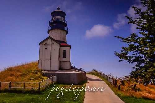
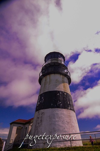
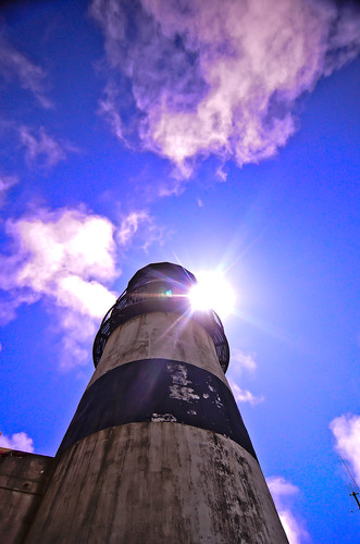
Cape Disappointment Lighthouse distinctive black horizontal stripe was added to distinguish it from the North Head Lighthouse just 2 miles to the north
Cape Disappointment Lighthouse Ilwaco WA


National Motor Lifeboat School photo credit: USCG Petty Officer Jamie Parsons  
Waikiki Beach, Cape Disappointment State Park, WA
View from Waikiki Beach Photo credit : Abhinaba Basu


Tuesday, September 10, 2013

No. 217 Grays Harbor Towering Lighthouse is also Washington States tallest and 3rd on the Pacific Northwest

Grays Harbor Lighthouse
1020 W Ocean Ave, Westport, WA 98595
Height: 107' (33 m)
First lit: 1898
http://www.westportmaritimemuseum.com/pricing-hours/

MAP IT: 

The Grays Harbor Inlet is one of the few along Washington State's coastline to allow ocean going vessels to enter without having to sail up a difficult river or channel. The towns of Hoquiam, Westport and Aberdeen saw increased growth and revenue from the booming timber industry in the late 1800s. By 1880s a number of ships had wreck near the entrance to Grays harbor and local representatives headed to Washington to ask law makers for funds to construct a lighthouse to aid in navigation and protect their lumbar industry.
After 14 years of funding issues and construction delays the 107 foot brick and mortar lighthouse was built on a tract of land 400 feet from the break water. Over the past 100 years storms and sediment accretion from the jetty protruding from the entrance to Grays Harbor have deposited nearly 3000 feet of sand in front of the lighthouse. Currently Grays Harbor Lighthouse sits 4 blocks from the ocean hidden amongst the trees with only its light tower rising above the tree line.
There are 135 metal stair bolted to the brick interior which take depending on your fitness level about 10 minutes to ascend.
There is no fee to lighthouse grounds or gift shop but it will cost you $5 and some sweat to get to the top of the lighthouse.
For more Details on Grays Harbor Lighthouse check out http://www.lighthousefriends.com/light.asp?ID=117
Garys Harbor Lighthouse with fog signal building
Photograph courtesy University Washington


Grays Harbor Lighthouse, Westport Washington

Grays Harbor Lighthouse, Westport Washington

Grays Harbor Lighthouse, Westport Washington
Please Support Puget Exposure 

 We love to bring you guys the updates to best and greatest photography locations in and around Seattle and the greater Puget Sound area, photography tips and gear related stuff. However, we can’t keep doing that unless we have your continued support. If you would like to purchase any of images featured in an article, please do so by clicking HERE or on the Post Cards and Prints tab above in the header. You can also make secure donation to the travel fund via PayPal. If you frequently shop on Amazon.com, by clicking on the Amazon links listed below you can continue to browse Amazon and any purchase you make will give us a small portion of the sale to continue to run this website. Banner Links for PEP Gear Used:
 
lens rental Washington State travel, Washington State travel, Washington Destinations, Photography, Photography spots, best things to do in Seattle, Best things to in Washington State, Washington Tourism Alliance, Washington State Tourism board, recommendations, recommendations for things to see in washington state, things to do in washington state, things to do in seattle, things to do in Tacoma washington, Washington Photographers, Washington nikon shooters, best seattle photography, washington exploration, experience washington, what to do while visiting seattle, seattle top attractions, seattle food, Space Needle, Explore Washington State, Puget Exposure Photography, Puget Exposure, Road Trips through Washington State, Weird Washington, King County, Snohomish County, Seattle, Everett, Tacoma, Kent, Redmond, Kirkland, Washington Sunrises where and when, Washington State Weather, Grays Harbor, Grays Harbor Lighthouse, Washington State Tallest Lighthouse, Westport, Washington, Lighthouses

Friday, June 21, 2013

No. 195 An aerial look of Mukilteo from the Lighthouse Catwalk

Mukilteo Light
Mukilteo Lighthouse Park
608 Front St, Mukilteo, WA ‎ 

MAP IT


The Lighthouse and Gift shop are now open on Saturday and Sunday from 12pm to 5pm through September 29th, 2013.

A $1 per person donation to climb the circular stair way to the top of the lighthouse helps support the  Mukilteo Historical Society which assists the U.S. Coast Guard and the City of Mukilteo in the preservation, maintenance of the grounds and the accessibility of the light station for all to enjoy.

The Mukilteo Light at Mukilteo, Washington is an operational lighthouse with non-rotating fresnel lens. It originally had a revolving Fresnel lens until 1927, when it was replaced with a fixed lens. The grounds and interior, inside a city park adjacent to the Washington State Ferries Mukilteo ferry terminal, are open to the public. The Mukilteo Historical Society maintains the lighthouse and the exhibits about the lighthouse and city history in the keeper's house.
The lighthouse went into operation in 1906. The lighthouse and a modern fog signal were automated in 1979, and in 1981, a remote fog sensor was installed. It was placed on the National Register of Historic Places in 1977, and in 1991 the Coast Guard leased the lighthouse to the city of Mukilteo, although navigational equipment is still maintained by the Coast Guard.
The Mukilteo Light Station although no longer staffed by USCG still is in service with its Fourth Order Fresnel lens which has a range of 12 nautical miles.  The lighthouse is one of only a few lighthouses constructed of wood.


mukilteo lighthouse fresnel lens mukilteo lighthouse fresnel lens
mukilteo lighthouse fresnel lens
Add caption
mukilteo lighthouse fresnel lens

mukilteo lighthouse fresnel lens

mukilteo lighthouse fresnel lens

mukilteo lighthouse fresnel lens

mukilteo lighthouse fresnel lens

mukilteo lighthouse fresnel lens


The quaint sea side city of Mukilteo is the gateway to southern tip of Whidbey Island via the Clinton Mukilteo Ferry run. To check fares and ferry schedules visit Washington State Ferry Rates. The Puget Sound is a tidal waterway that influences the width of the public beach. Both during high and low tide Mukilteo Beach makes for great landscape and seascape photography. The Mukilteo Lighthouse Park is a popular senior, engagement and wedding photography backdrop for newly weds and families as well.
The sun sets behind the Olympic Mountain range and Whidbey Island. So if you are planning to take a beach stroll prior to sunset for some photography shots keep in mind that the sun will set sooner because of the geography of the mountains to the west. Just east of Mukilteo lies Paine Field Airport home to Boeing 747,757,767,777, and 787 Dreamliner production lines. The airport has multiple public access points for easy plane spotting and has a great collection of vintage aircraft on display at 3 aviation museums.
For more interesting places around Mukilteo see all articles in and around Mukilteo
More shots of Mukilteo Lighthouse
Mukileto Lighthouse Park and Playground
Pioneer Cemetery along the Bluff in Mukilteo
Mukilteo Classic Car Show
A walk up Mukilteo Japanese Gulch 
Plane Spotting at Paine Field Snohomish County Airport
Paine Field KPAE Snohomish County Airport Attractions for everyone
Tails and Trails Mukilteo Off Leash Dog Park 
Historic Flight Foundation - Aircraft Museum 
Flying Heritage Collection Aircraft Museum
Gear Used:
 
lens rental Washington State travel, Washington State travel, Washington Destinations, Photography, Photography spots, best things to do in Seattle, Best things to in Washington State, Washington Tourism Alliance, Washington State Tourism board, recommendations, recommendations for things to see in washington state, things to do in washington state, things to do in seattle, things to do in Tacoma washington, Washington Photographers, Washington nikon shooters, best seattle photography, washington exploration, experience washington, what to do while visiting seattle, seattle top attractions, seattle food, Space Needle, Explore Washington State, Puget Exposure Photography, Puget Exposure, Road Trips through Washington State, Weird Washington, King County, Snohomish County, Seattle, Everett, Tacoma, Kent, Redmond, Kirkland, Washington Sunrises where and when, Washington State Weather, Mukilteo Lighthouse tours, Mukilteo Wedding, Fresnel lens, Washington STate Lighthouses, puget sound light houses, pugetexposure.com

Monday, August 27, 2012

No. 99 Dungeness Spit


Dungeness Spit is a 5.5-mile (8.9 km) long sand spit jutting out from the northern edge of the Olympic Peninsula into the Strait of Juan de Fuca.  The body of water it encloses is called Dungeness Bay. It is the longest natural sand spit in the United States. The Dungeness Spit is entirely within the Dungeness National Wildlife Refuge and home of the Dungeness Lighthouse.
For those avid beach walkers the 5 mile (10 mile round trip) trek along the western edge of the spit will reward you with the site of The New Dungeness Lighthouse. It is one of the oldest lighthouses in the State of Washington and has been in continuous operation, providing navigational aids to ships in the Strait of Juan de Fuca, since its completion in 1857. 
 The lighthouse once was run by United States Coast Guard, but since an automatic light was installed, it has been run by the "New Dungeness Lighthouse Organization". The spit is open to the public year around.
It was first found by Europeans during the Spanish 1790 Quimper expedition. The name "Dungeness" comes from the Dungeness headland in England. The spit was named by explorer George Vancouver in 1792, who wrote: "The low sandy point of land, which from its great resemblance to Dungeness in ths British Channel, I called New Dungeness."


Dungeness Straight
Looking back at the Olympic Mountain Range and the Straight of Juan de Fuca


Dungeness Straight
Part of the 5 mile long Dungeness Spit Sand Bar
New Dungeness Lighthouse HDR 3760
photo credit: New Dungeness Lighthouse David Irons Jr


Gear Kit 

Nikon D7000 Digital Camera
Tokina 12-24mm 
Nikon 70-300mm
ThinkTankPhoto Urban Disguise 35 lens rental Learn Photography Online with the Pros Save $10 Now #KTCJQ12  Receive a FREE GIFT from Think Tank Photo

Sunday, August 19, 2012

No. 95 Point Wilson Lighthouse

Point Wilson Lighthouse


The Point Wilson Light was built in 1913 by the United States Lighthouse Service. At a height of 51 feet (16 m), the beacon is the tallest on Puget Sound, marking the entrance to Admiralty Inlet. The lighthouse replaced an earlier wooden light tower built in 1879 on the roof of the station keeper's house.
The Point Wilson Lighthouse, located on the north end of Fort Worden State Park near Port Townsend, Washington, is on the National Register of Historic Places and the Washington State Heritage Register. It is one of the most important navigational aids in Washington, a link connecting Puget Sound and the Strait of San Juan de Fuca.

Getting there:
Take the Washington State Ferry Run from Edmonds, WA to Kingston aprox a 40min sailing. Head west along Hwy 104 for 14 miles, then turn right onto Hwy 19 for another 15 miles. Merge onto Hwy 20 N towards Port Townsend. From Highway 20 in Port Townsend, turn left on Kearney Street and when it ends turn right onto Blaine Street. From Blaine Street, turn left onto Walker Street, which will become Cherry Street. Follow Cherry Street 1.6 miles to Fort Worden where the road changes to Fort Worden Way. Enter Fort Worden and turn right on Eisenhower Avenue. When Eisenhower Avenue ends, turn left on Harbor Defense Way and follow it 0.8 miles to the Point Wilson Lighthouse.  


Point Wilson Lighthouse

lens rental Learn Photography Online with the Pros Save $10 Now #KTCJQ12  Receive a FREE GIFT from Think Tank Photo