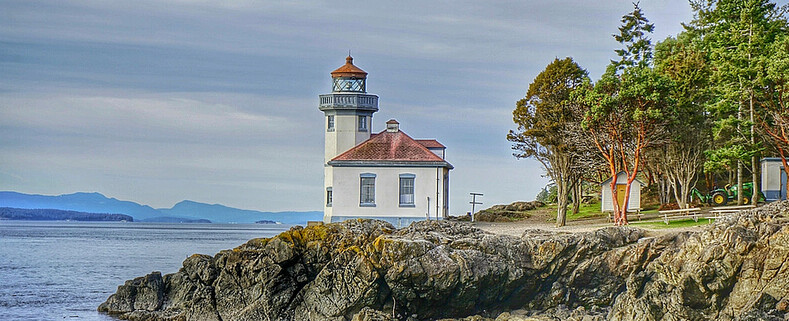
Lime Kiln Lighthouse

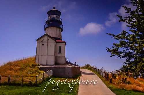
Lime Kiln Lighthouse on the west side of San Juan Island, Washington

Lime Kiln Lighthouse on the west side of San Juan Island, Washington

Lime Kiln Lighthouse on the west side of San Juan Island, Washington

Lime Kiln Lighthouse on the west side of San Juan Island, Washington

Lime Kiln Lighthouse on the west side of San Juan Island, Washington

Showing posts with label Washington State Parks. Show all posts

Wednesday, March 4, 2015

No. 305 Lime Kiln Lighthouse State Park

Lime Kiln Point State Park
1567 Westside Road
Friday Harbor, Wa 98250
Hours: 8am to Dusk

MAP IT 
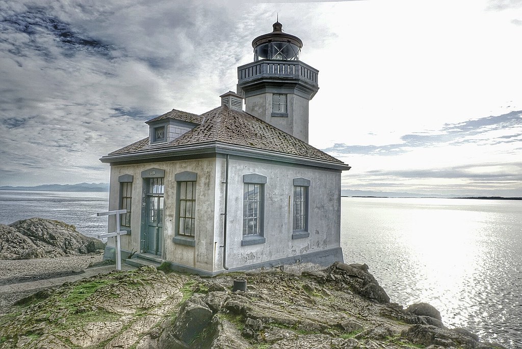

Lime Kiln Lighthouse State Park


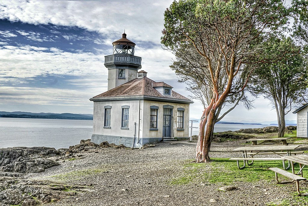
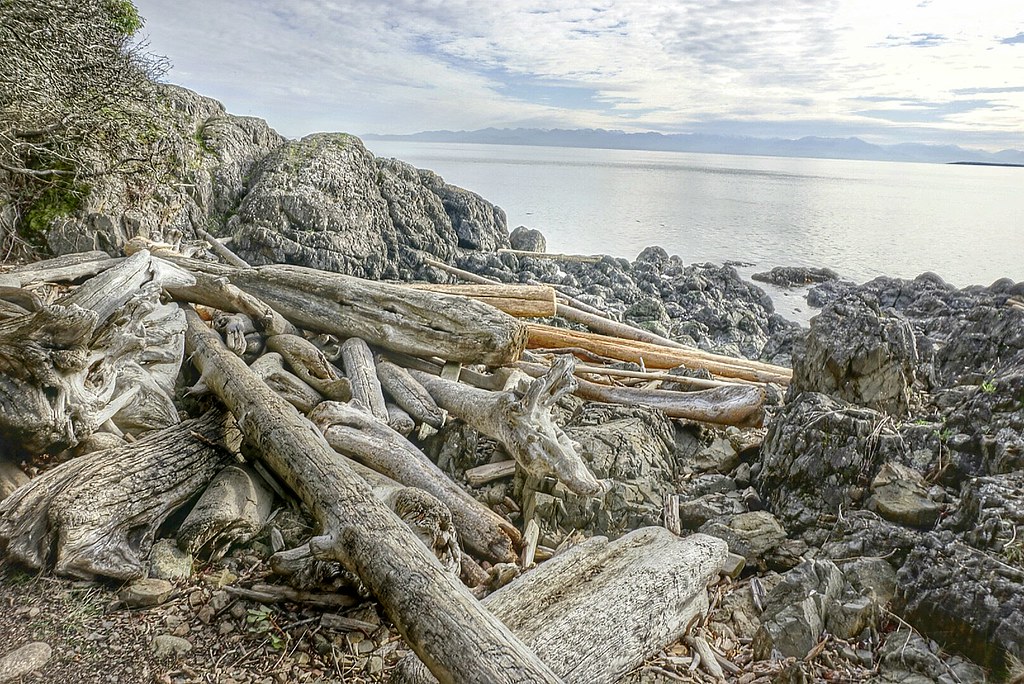
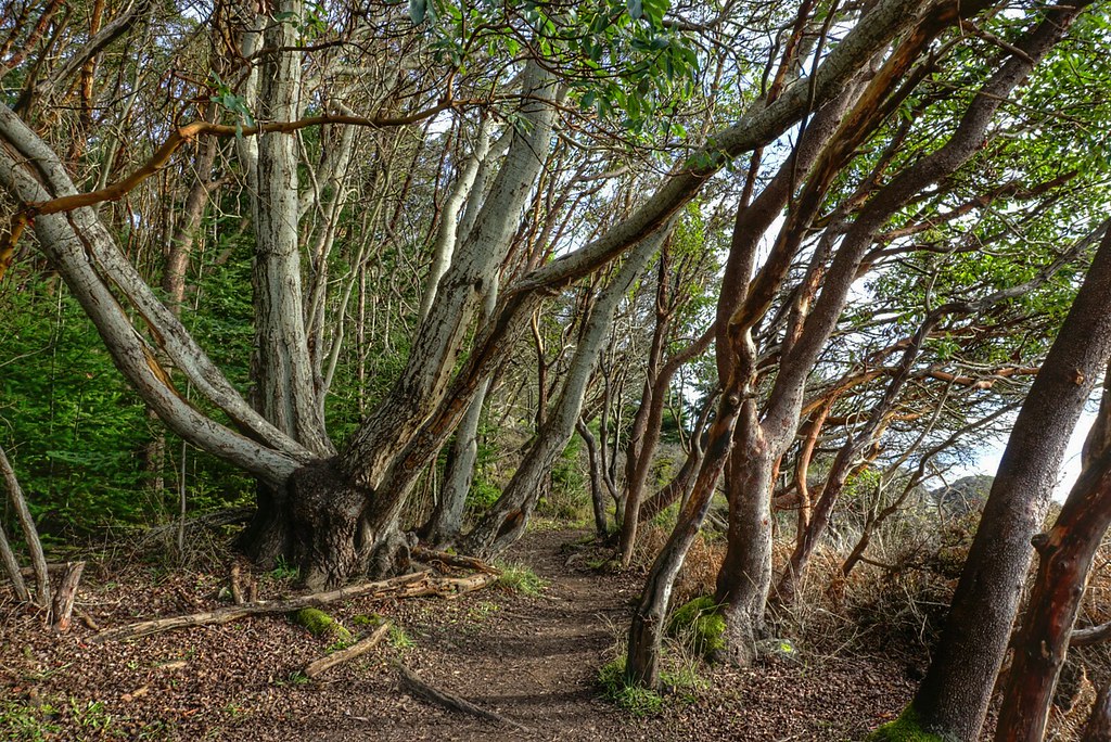
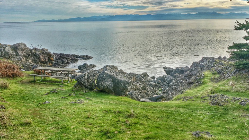
Lime Kiln Point State Park is located on the western side of San Juan Island. The 36 acres state park features over a mile of trails that wander down to the waters edge and through a grove of pacific madrone tree to the Lime Kiln Lighthouse. Beginning in the 1860s the west side of San Juan Island was quarried for lime stone and a good portion on the island was deforested to feed the fires that transformed limestone into lime, which was then used in construction mortar.
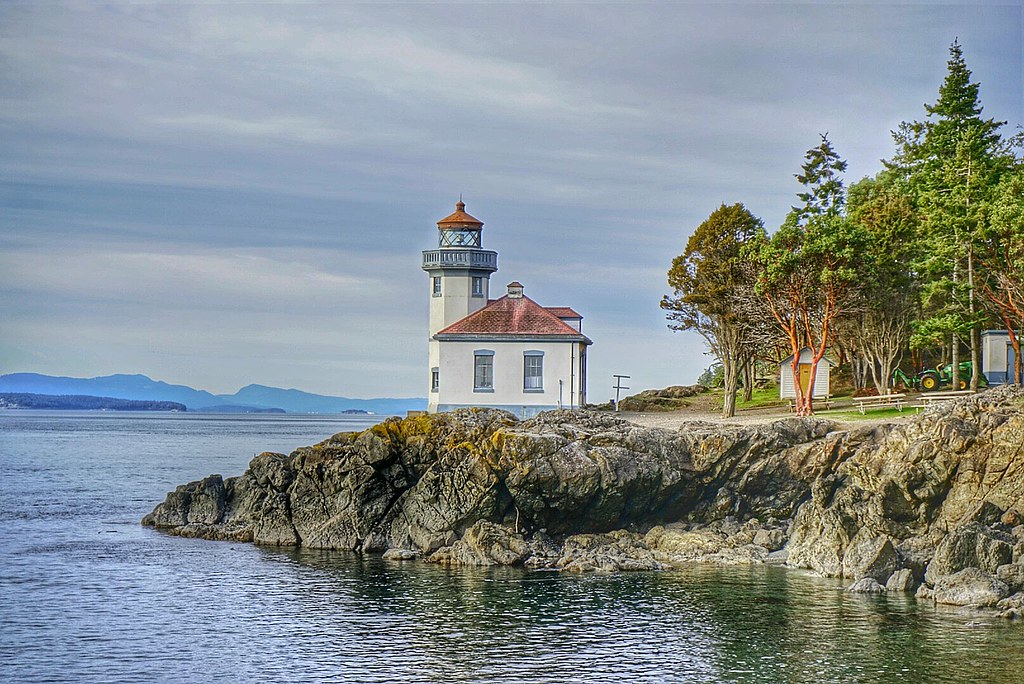
A shoreline viewpoint is about a 10 minute walk from the parking lot. The rocky shoreline plunges to over 900 feet in depth quickly. Through the daily tidal currents from Haro Straight into the Gulf of Georgia nutrients rich waters are pushed up against the island attracting a variety of marine life to congregate just off shore including fish, otters, sea lions, seals, minke whales and orca whales that come to play in the kelp beds and hunt for salmon.
Depending on the time of year Lime Kiln Point is a popular land based whale spotting location.

Lime Kiln Lighthouse is a 38 foot octagonal building built on a rock cliff 20 feet above the waterline and the fourth-order Fresnel lens was first light in 1919. The lighthouse tower was built atop of a fog signal building. In 1951 the Bonnevile Power Administration laid a submarine power cable from Anacortes, WA to San Juan Island and the Fresnel lens was replaced by a non-rotating electric bulb, and two electric foghorns were installed. The light station became fully automated in 1962.
In 1984 the lighthouse station and grounds were turned over by the United States Coast Guard to  Washington State Parks. The USCG still maintains the lighthouse tower as an active aid to marine navigation, but the building is used by the Friends of Lime Kiln Society as an Interpretive Center for Special Events and Tours.

Discover Pass: An Annual Discover Pass or a Day Use fee is required for vehicle access to the park for day use. No over night parking


Lime Kiln State Park

Lime Kiln Lighthouse State Park Lime Kiln Lighthouse State Park Lime Kiln Lighthouse State Park Lime Kiln Lighthouse State Park Lime Kiln State Park

Friday, May 9, 2014

No. 274 Whidbey Scenic Isle Way


The Whidbey Island Scenic Byway is part of the Great North Cascades Loop. This section of the byway is around 75 miles in length and takes just over 2 hours to drive without any stops. But there are plenty of scenic overlooks and parks to visit along the way. You don't have to visit every stop listed in this guide. This byway has much to offer and is worth visiting again and again throughout the year as seasons change the scenery and different wildlife species become active.

Starting off in Anacortes, Washington (77 miles north of Seattle, WA)

View from Above-Anacortes, Wa
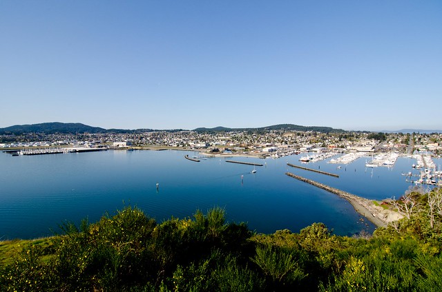
A) Cape Sante Overlook 
Anacortes is homeport to the San Juan Islands in the Pacific Northwest. Located on Fidalgo Island, it is conveniently situated halfway between Seattle and Vancouver BC and is the destination point for the San Juans and International ferry runs for Washington State.


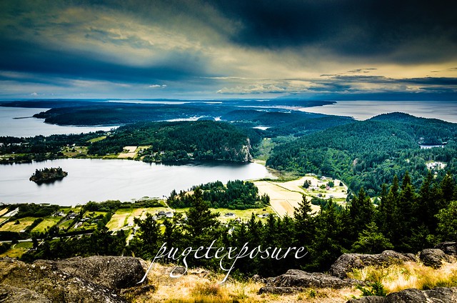
Mount Erie Overlook, Anactores WashingtonB) Mount Erie View Point 
Bowman Pier, Deception PassMt. Erie View Point is on the highest mountain of Fidalgo Island in Skagit County. The 160 acre park is operated by the Anacortes Community Forest Lands and offers various adventure activities such as multiple rock face ascents, trails and a number of hill top viewing areas.


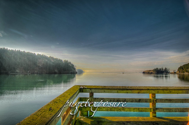
C) Bowman Bay Pier
Deception Pass looking South WestBowman Bay is located just north of the Deception Pass Bridge off of Highway on Fidalgo Island. The bay is separated from Lottie Bay to the south by a small and growing sand bar but it still is subject to tidal changes. Check current tidal conditions before your arrival to predict access to the shoreline. 


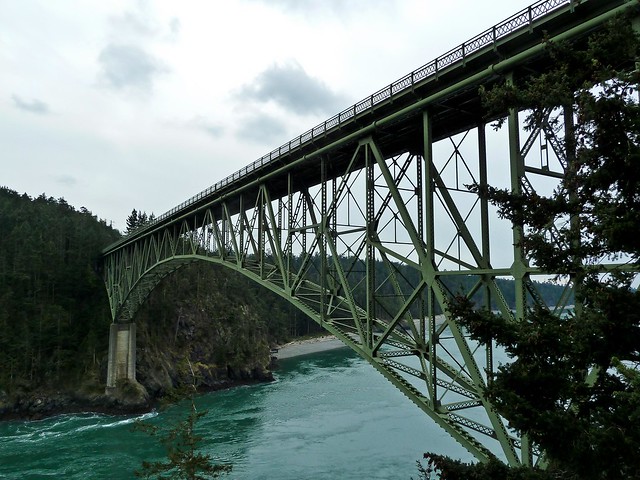
D) Deception Pass Bridge
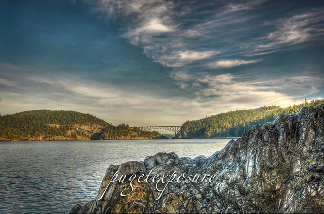
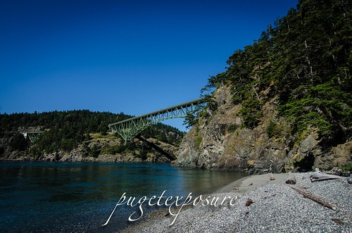
The main feature of the park is the 180 foot tall Deception Pass Bridge, which was completed in 1935. The quarter mile long bridge spans two cuts in between Fidalgo and Whidbey Island. When the bridge first opened in 1935 on average 700 cars crossed between Whidbey Island and the Mainland. Today over 20,000 cars and trucks cross the bridge daily.


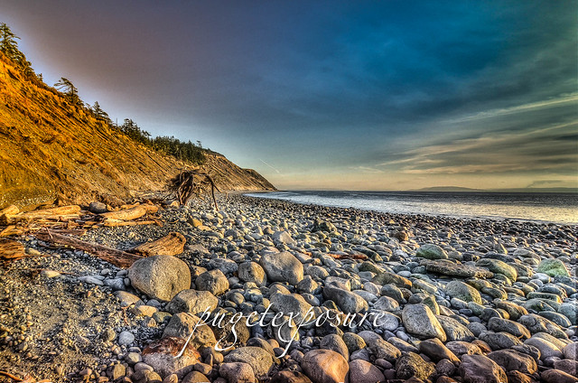
Deception Pass CutE) West Beach
West Beach is a long, gravelly shoreline dotted with boulders and driftwood and as excellent views of the Olympic Mountains, the San Juan Islands, and even Victoria on a clear day.  Keeping an eye on the changes in tide levels is important if you want to take a stroll around the large boulders to the north and look back at the cut and Deception Pass Bridge.

Fort Ebey State Park


F) Fort Ebey State Park
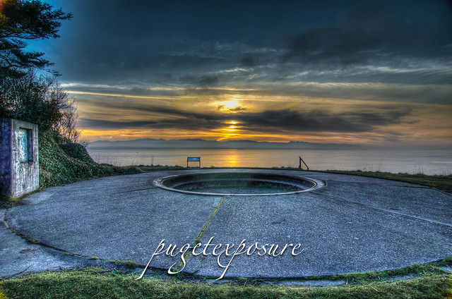
Fort Ebey was originally commissioned by the United States Army in 1942 as military artillery Battery 248. Battery 248 featured 2 rapid fire 6-inch shell cannons, earth covered concrete support structure and fire control post. An SCR-296A radar facility was located south of the battery


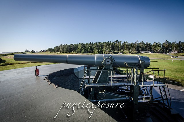
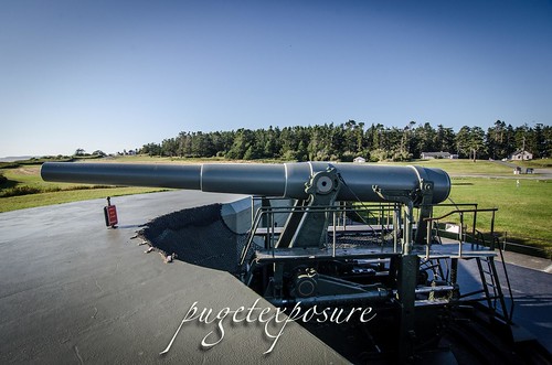
Fort Casey 10 inch Gun on display G) Fort Casey
In 1858, the U.S. government purchased ten acres of land costing $400 for the construction of Admiralty Head Lighthouse. In 1890, the army took over the premises. It named its garrison "Fort Casey" in honor of Brigadier General Thomas Lincoln Casey, the last U.S. Army chief of engineers. At that time, Fort Casey, in union with Fort Worden and Fort Flagler, was said to comprise a "triangle of fire" guarding the entrance to Puget Sound. 


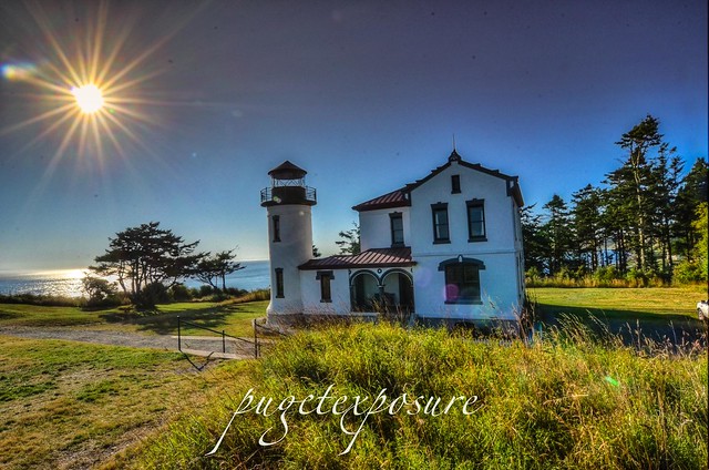
Admiralty Head LighthouseH) Admiralty Head Light House
The Admiralty Head Lighthouse, built in 1903 by the Army Corps of Engineers, is located in Fort Casey State Park near Coupeville on Whidbey Island. The beacon, high on a bluff, 127 feet above sea level, was an important navigational aid, especially for sailing ships entering Admiralty Inlet from the Strait of Juan de Fuca. It replaced the Red Bluff Lighthouse, a wooden Cape Cod style structure built in 1861. Although decommissioned in 1922, the Admiralty Head Lighthouse received national recognition in 1990 when the U. S. Postal Service selected it for a collection of five commemorative lighthouse stamps honoring the U.S. Coast Guard’s bicentennial.


Old Pier Mukilteo Beach
J) Clinton/Mukilteo Ferry
Return to the Mainland via Washington State Ferry Clinton / Mukilteo run. The crossing takes about 20 minutes

Thursday, May 8, 2014

No. 273 Cama Beach State Park

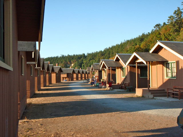
Cama Beach State Park
1880 S.W. Camano Dr
Camano Island, WA 98282
Cabin & Group Accommodations
Ph: 360-387-1550
Website: http://wa-washingtonstateparks.civicplus.com/483/Cama-Beach

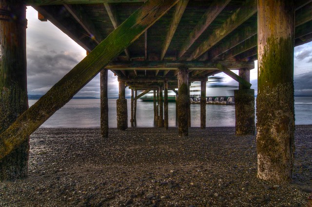
Cama Beach State Park is located on the west side of Camano Island looking out over Saratoga Passage towards Whidbey Island. It is about a 90 minute drive from the Seattle area. The park property served as a family run fishing village from the 1930s to 1990s when the land was acquired by Washington State Park System. Camano Beach State Park has 433 acres of waterfront access, and depending on the tide levels the beach can extend for 50 yards or more during low tide.
The park is open year round for day use and also offers visitors the option of staying overnight is one of two bungalow or a rustic cabins along the shoreline. The Center for Wooden boats also has an education building and boat house at the north end of the beach.

Saturday, May 10

The Center for Wooden Boats (CWB) offers a free sail on Saratoga Passage on Saturday of Mother's Day weekend. This is the 15th anniversary of this event. 
Date:
May 10
Time:
10:00 AM - 4:00 PM
Time Details:
Sign up starts at 10:00am, first sail is at 11:00am
Location:
Cama Beach State Park
Address:
1880 S.W. Camano Drive
Camano IslandWA 98282
Cost:
Free event, Discover Pass required


Cama Beach
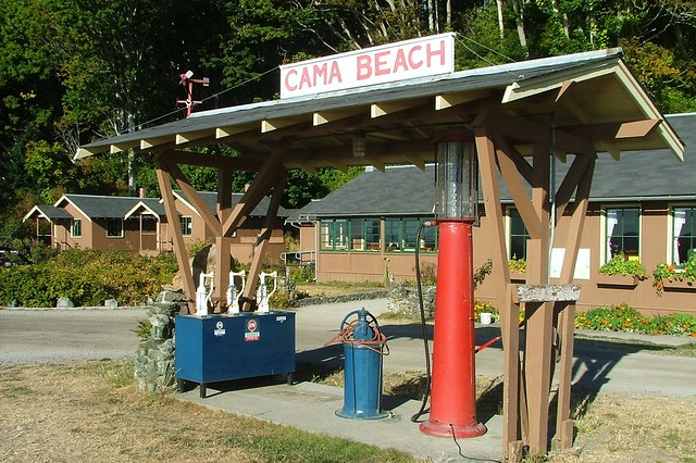
1930s Gas Station at Cama Beach by Larry Myhre
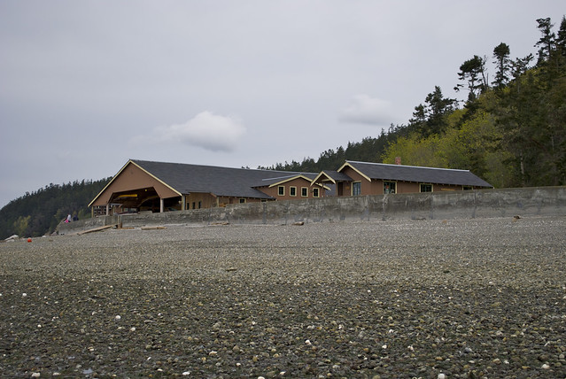
Boathouse at low tide
Center for Wooden Boats Boathouse at low tide by Eldan Goldenberg
Cama Beach
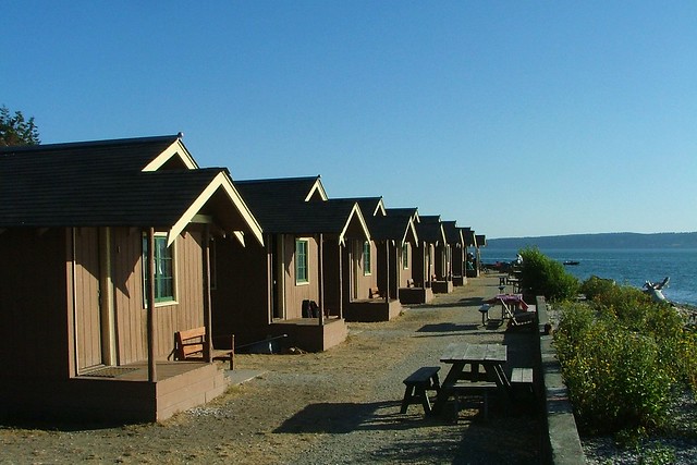
Cama Beach Cabins by Larry Myhre
P8293488
Cabins by Eldan Goldenberg

Thursday, April 17, 2014

No. 265 Springtime is a great time to visit Washington State Water Falls

As we enter the 5 week of Spring of 2014 the flowers are in bloom everywhere it seems and the weather is producing more blue skies and warmer temps consistently. Which puts most people in a happier mood.
Temperatures in the lowlands are staying above 40 degrees and the temperatures in the mountains are getting warmer as well. This means the snow and ice that fell and accumulated since last October is beginning to thaw and looking for a way to the ocean. 
Now is the best time to go out and see waterfalls running at full levels. The April Spring Showers combined with ice and snow melt add dramatic volumes of water rushing down the sides of mountains and cascading over the edges of waterfalls. 
Though some trails still may have residual snow and may be muddy they are worth the hike. During the summer months when forest floors and trails are dry there is upwards of 60% less water moving down the mountain causing larger falls to run at low levels and many smaller waterfalls disappear as their water sources dry up. 


Here is a list of waterfalls inside Washington State Parks that are worth a hike:


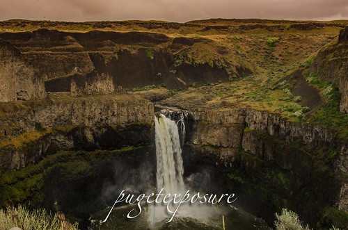
Palouse Region Palouse Falls - Eastern Washington
The Palouse Falls is tucked away in the Eastern part of Washington State. After a very windy drive, including a few miles on dirt roads, you can find this amazing location. The falls consists of an upper falls with a drop of ~20 feet (6.1 m) which lies 1,000 feet (300 m) north northwest of the main drop, and a lower falls, with a drop of ~180 feet (55 m).


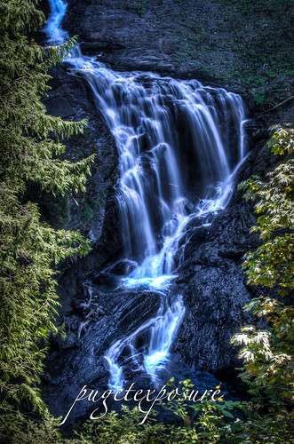
Wallace Falls State ParkWallace Falls - Gold Bar, WA
Cascade FallsWallace Falls, named after homesteaders Joe and Sarah Kwayaylsh members of the Skykomish tribe, is a 4,735 acre forest land on the western slope of the North Cascade Mountain range in Snohomish County. The park has three back country lakes, Jay Lake, Shaw Lake and Wallace Lake which are connected via the Wallace River. The river trickles, snakes, gurgles and plunges its way through the park until the valley basin. 


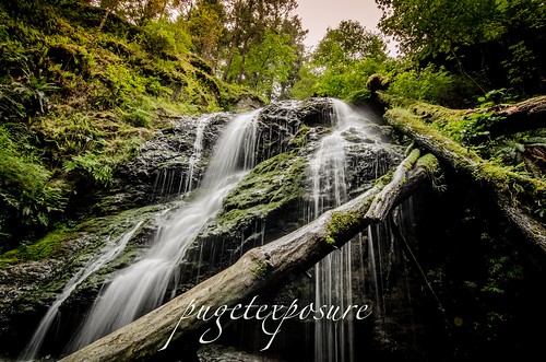
Cascade Falls - Orcas Island, WA
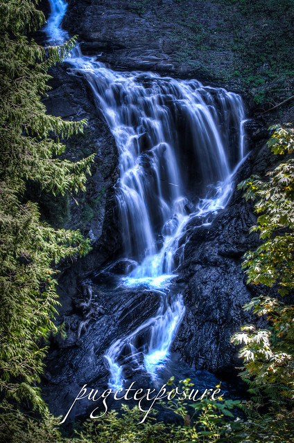
At about 40 feet tall, Cascade Falls is the largest waterfall in the San Juan Islands. Cascade Creek squiggles down a flume, dropping through a jumble of logs and branches before it veils out over a broad bulbous face into a small grotto lined with several old growth cedar trees. 


Rustic Falls, Cascade Creek, Moran State Park Rustic Falls - Orcas Island, WA 
Rustic Falls is part of Cascade Creek, which runs between Mountain Lake and Cascade Lake in Moran State Park. The 0.8 mile walk from the trail head is located on the east side of Cascade Lake in Moran State Park Orcas Island

Monday, March 17, 2014

No. 251 Happy 101st Birthday Washington State Parks

Washington State Parks and Recreation turns 101 this year.
Website: http://www.parks.wa.gov/
March 19th, 2014 is the second  “fee free days” in 2014, when visitors are not required to display the Discover Pass to visit a Washington State Park. 
In 1913 Washington State legislature creates the Washington State Board of Park Commissioners. The first two were formed from donated land in 1915 : The John R. Jackson House, a pioneer heritage site near Chehalis, and the Chuckanut State Park. In 1947 the State Park Committee was renamed to the Washington State Park and Recreation Commission and given the authority to oversee the state park system, purchase land and collect fees. 

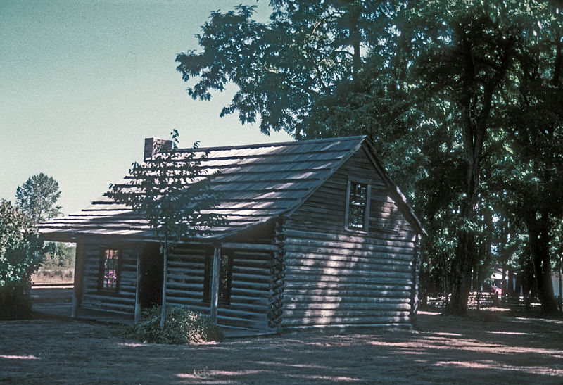
PARK PRESERVES THE 1845 LOG CABIN OF ONE OF THE VERY EARLIEST PIONEERS TO SETTLE IN WASHINGTON. THIS WAS THE FIRST U.S. DISTRICT COURT IN 1850 AND WAS A STOPPING PLACE ALONG THE OREGON TRAIL

As of June 2011 there are 117 State Parks covering 138,000 acres which includes uplands, lowlands, aquatic and marine life areas. The Washington Department of Natural Resources owns an additional 3,000,000 acres throughout the Evergreen State. 
If you plan on visiting and exploring Washington State-managed land this year outside of the Fee Free Days you will need to have a Discover Pass. Fine for not displaying the pass is $99. 
Here is a list of some of my favorite State Parks 


North Sound State Parks

Bay View State Park 


Western Washington


Seattle Area State Parks


Southern Washington 


Wednesday, September 25, 2013

No. 223 Gold Bar's Hidden Gem Wallace Falls State Park

Wallace Falls State Park
Gold Bar, WA
MAP IT


Driving Directions:

From Everett follow US 2 for 28 miles east to the hamlet of Gold Bar. Just before milepost 28, turn left onto 1st Street (signed for Wallace Falls State Park). Pro-ceed for 0.4 mile to a four-way stop. Turn right onto May Creek Road and continue for 1.5 miles to Wallace Falls State Park and the trailhead (elev. 300 ft). Restrooms and water available at parking lot.
Wallace Falls, named after homesteaders Joe and Sarah Kwayaylsh members of the Skykomish tribe, is a 4,735 acre forest land on the western slope of the North Cascade Mountain range in Snohomish County. The park has three back country lakes, Jay Lake, Shaw Lake and Wallace Lake which are connected via the Wallace River. The river trickles, snakes, gurgles and plunges its way through the park until the valley basin. 
Some where within the park there has to be a waterfall worth of a title right?
Well there are more than 9 waterfalls in the park. Some small some larger, some are running year round while others only run in late winter/early spring with the snowmelt run off. 
The 4 falls that are more easily accessible can be found along the Woody Trail, a 2.3 mile / 3.7 km long dirt trail that is well maintained and well marked. After recent rain fall, the trail might be come very muddy and slippery in spots. There are numerous switch backs and steep inclines that have tall raised steps. At 6'1 I did not have much trouble navigating the steps and switch backs, but those shorter might have more difficulty with the high steps. 
2.3 miles may not seem like much, just remember its 2.3 miles each way (5.6 miles round trip) and its up and down hill sides with incremental elevation gains of 500 feet in short distances. Proper footwear and good to better conditioning is required to make it a safe and enjoyable hike. We made Wallace Falls into a mid morning hike and returned to the trailhead in about 3 1/2 hours with stops along the way (see pictures below :) 
Image created with Snapseed
Wallace River


Wallace Falls State Park
Crossing over Small Falls 
Image created with Snapseed
The Trail begins with a 1/4 walk under some buzzing high energy power lines
                                                                     

Image created with Snapseed

Image created with Snapseed
Another bend in the trail that follows Wallace River 
S
Image created with Snapseed
Along the trail there are a few benches to take a break and enjoy the sights and sounds
Sma
Wallace Falls State Park


Wallace Falls State Park
This is one of many wooden bridges to cross along the trail 

Wallace Falls State Park
Crossing over the North Fork of Wallace River

Wallace Falls State Park


Wallace Falls State Park


Wallace Falls State Park
Middle Falls Overlook


Wallace Falls State Park
Middle Falls Overlook


Wallace Falls State Park
Wallace Falls State Park is DOg Friendly, so bring you dog on a leash for some exploring


  Please Support Puget Exposure 

 We love to bring you guys the updates to best and greatest photography locations in and around Seattle and the greater Puget Sound area, photography tips and gear related stuff. However, we can’t keep doing that unless we have your continued support. If you would like to purchase any of images featured in an article, please do so by clicking HERE or on the Post Cards and Prints tab above in the header. You can also make secure donation to the travel fund via PayPal. If you frequently shop on Amazon.com, by clicking on the Amazon links listed below you can continue to browse Amazon and any purchase you make will give us a small portion of the sale to continue to run this website. Banner Links for PEP Gear Used:
 
lens rental Washington State travel, Washington State travel, Washington Destinations, Photography, Photography spots, best things to do in Seattle, Best things to in Washington State, Washington Tourism Alliance, Washington State Tourism board, recommendations, recommendations for things to see in washington state, things to do in washington state, things to do in seattle, things to do in Tacoma washington, Washington Photographers, Washington nikon shooters, best seattle photography, washington exploration, experience washington, what to do while visiting seattle, seattle top attractions, seattle food, Space Needle, Explore Washington State, Puget Exposure Photography, Puget Exposure, Road Trips through Washington State, Weird Washington, King County, Snohomish County, Seattle, Everett, Tacoma, Kent, Redmond, Kirkland, Washington Sunrises where and when, Washington State Weather, Wallace Falls State Park, Washington State Park, Lower Falls, Upper Falls, Middle Falls, Snohomish County