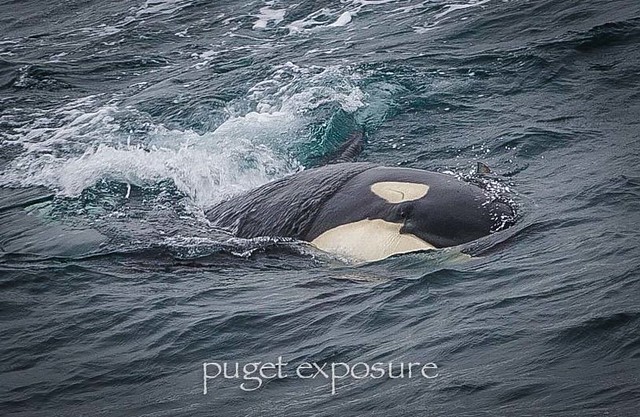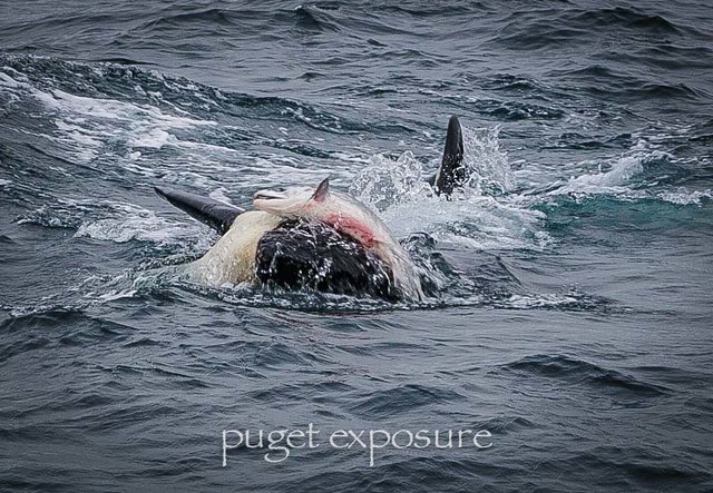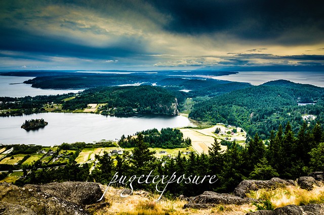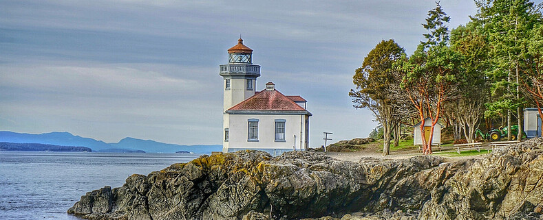
Lime Kiln Lighthouse

Lime Kiln Lighthouse on the west side of San Juan Island, Washington

Lime Kiln Lighthouse on the west side of San Juan Island, Washington

Lime Kiln Lighthouse on the west side of San Juan Island, Washington

Lime Kiln Lighthouse on the west side of San Juan Island, Washington

Lime Kiln Lighthouse on the west side of San Juan Island, Washington

Showing posts with label western washington. Show all posts

Saturday, October 11, 2014

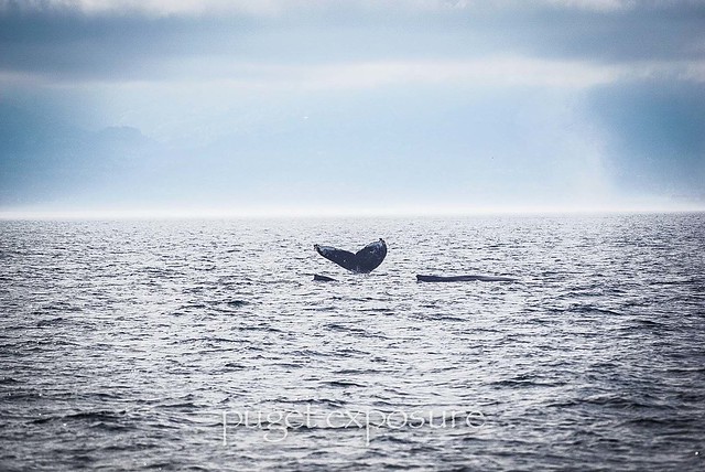
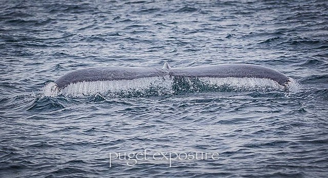
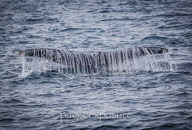
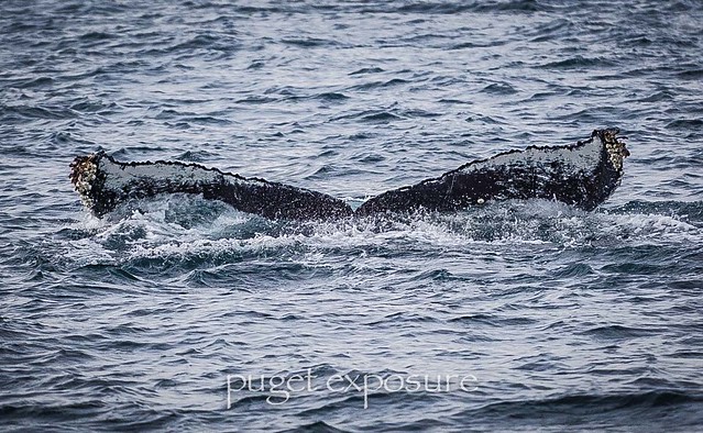
No. 297 Humpack Whales with Island Adventures

Island Adventures
http://www.island-adventures.com/
1801 Commercial Ave
Anacortes, Wa
1-800-465-4604

Back out on the waters with Captain Scott and Tyson for my first humpback whale watching tour on
Island Explorer 4 from Port Angeles, Wa
If you have not taken the drive to western Washington you are missing out on some stunning mountain and sea scenery.
Port Angeles, WA sits along the Strait of Juan de Fuca in the shadow of the Olympic Mountains. For more information on events happening in Port Angeles check out the city's website
http://wa-portangeles.civicplus.com/

Area Attractions near Port Angeles
Hurricane Ridge 
Olympic Game Farm
City of Sequim
Point Wilson Lighthouse 

Images from the day on the water
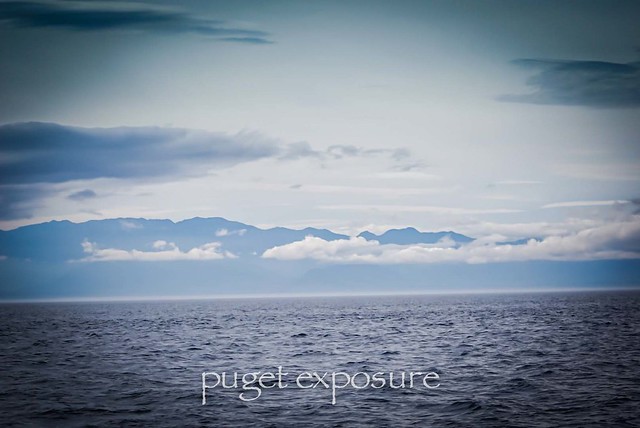

Port Angeles, WA Tour Port Angeles, WA Tour Port Angeles, WA Tour Port Angeles, WA Tour Port Angeles, WA Tour Port Angeles, WA Tour  Port Angeles, WA Tour

Friday, May 9, 2014

No. 274 Whidbey Scenic Isle Way


The Whidbey Island Scenic Byway is part of the Great North Cascades Loop. This section of the byway is around 75 miles in length and takes just over 2 hours to drive without any stops. But there are plenty of scenic overlooks and parks to visit along the way. You don't have to visit every stop listed in this guide. This byway has much to offer and is worth visiting again and again throughout the year as seasons change the scenery and different wildlife species become active.

Starting off in Anacortes, Washington (77 miles north of Seattle, WA)

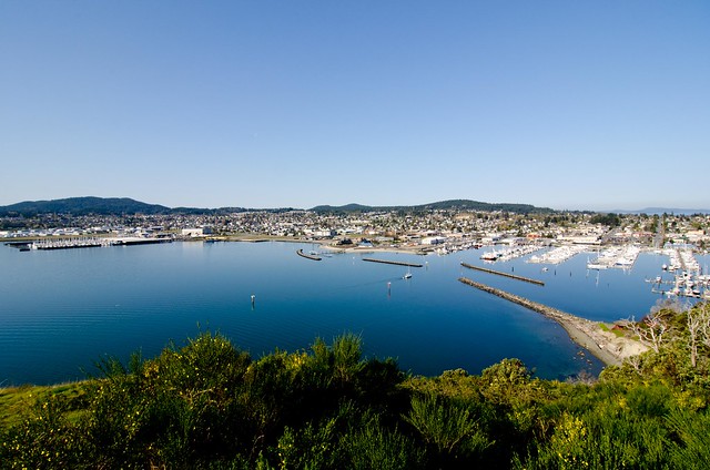
View from Above-Anacortes, Wa
A) Cape Sante Overlook 
Anacortes is homeport to the San Juan Islands in the Pacific Northwest. Located on Fidalgo Island, it is conveniently situated halfway between Seattle and Vancouver BC and is the destination point for the San Juans and International ferry runs for Washington State.


Mount Erie Overlook, Anactores WashingtonB) Mount Erie View Point 
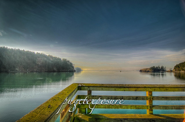
Bowman Pier, Deception PassMt. Erie View Point is on the highest mountain of Fidalgo Island in Skagit County. The 160 acre park is operated by the Anacortes Community Forest Lands and offers various adventure activities such as multiple rock face ascents, trails and a number of hill top viewing areas.


C) Bowman Bay Pier
Deception Pass looking South WestBowman Bay is located just north of the Deception Pass Bridge off of Highway on Fidalgo Island. The bay is separated from Lottie Bay to the south by a small and growing sand bar but it still is subject to tidal changes. Check current tidal conditions before your arrival to predict access to the shoreline. 


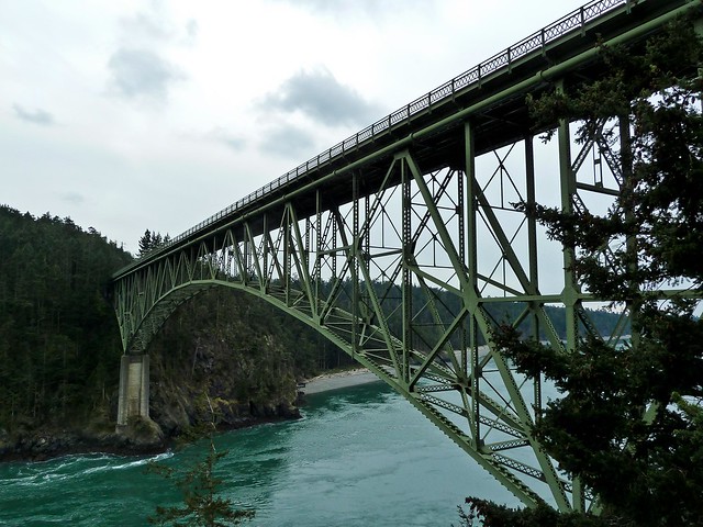
D) Deception Pass Bridge
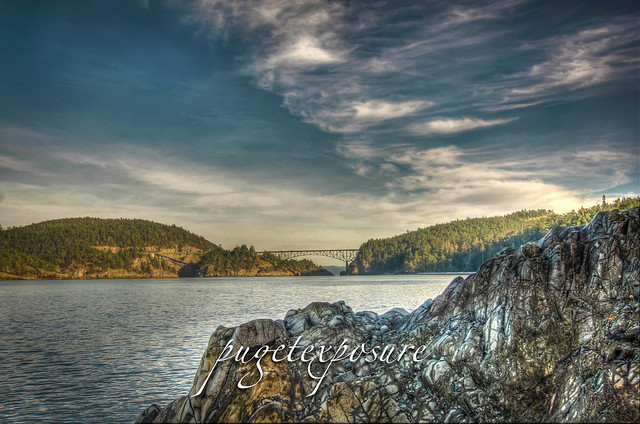
The main feature of the park is the 180 foot tall Deception Pass Bridge, which was completed in 1935. The quarter mile long bridge spans two cuts in between Fidalgo and Whidbey Island. When the bridge first opened in 1935 on average 700 cars crossed between Whidbey Island and the Mainland. Today over 20,000 cars and trucks cross the bridge daily.


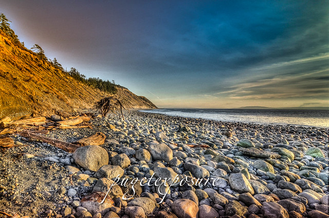
Deception Pass CutE) West Beach
West Beach is a long, gravelly shoreline dotted with boulders and driftwood and as excellent views of the Olympic Mountains, the San Juan Islands, and even Victoria on a clear day.  Keeping an eye on the changes in tide levels is important if you want to take a stroll around the large boulders to the north and look back at the cut and Deception Pass Bridge.

Fort Ebey State Park


F) Fort Ebey State Park
Fort Ebey was originally commissioned by the United States Army in 1942 as military artillery Battery 248. Battery 248 featured 2 rapid fire 6-inch shell cannons, earth covered concrete support structure and fire control post. An SCR-296A radar facility was located south of the battery


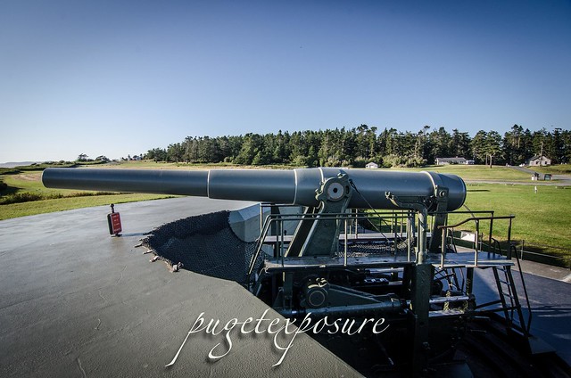
Fort Casey 10 inch Gun on display G) Fort Casey
In 1858, the U.S. government purchased ten acres of land costing $400 for the construction of Admiralty Head Lighthouse. In 1890, the army took over the premises. It named its garrison "Fort Casey" in honor of Brigadier General Thomas Lincoln Casey, the last U.S. Army chief of engineers. At that time, Fort Casey, in union with Fort Worden and Fort Flagler, was said to comprise a "triangle of fire" guarding the entrance to Puget Sound. 


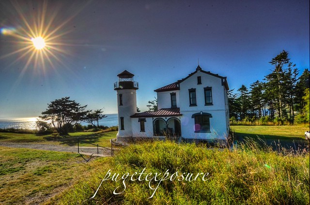
Admiralty Head LighthouseH) Admiralty Head Light House
The Admiralty Head Lighthouse, built in 1903 by the Army Corps of Engineers, is located in Fort Casey State Park near Coupeville on Whidbey Island. The beacon, high on a bluff, 127 feet above sea level, was an important navigational aid, especially for sailing ships entering Admiralty Inlet from the Strait of Juan de Fuca. It replaced the Red Bluff Lighthouse, a wooden Cape Cod style structure built in 1861. Although decommissioned in 1922, the Admiralty Head Lighthouse received national recognition in 1990 when the U. S. Postal Service selected it for a collection of five commemorative lighthouse stamps honoring the U.S. Coast Guard’s bicentennial.


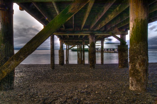
Old Pier Mukilteo Beach
J) Clinton/Mukilteo Ferry
Return to the Mainland via Washington State Ferry Clinton / Mukilteo run. The crossing takes about 20 minutes

Thursday, March 13, 2014

No. 247 Wildlife is on the Move

The bags are packed and the big spring migration is happening all over Washington for the next few weeks. Both on land and under pacific waters hundreds of thousands of animals including birds, insects, mammals and fish are making their spring migration from warmer southern grounds to their summer northern habitats as the snow and ice retreat from rivers, valleys and mountain sides. 

Sealife
Gray Whales
The annual gray whale migration is under way with many sightings of gray whales entering Strait of Juan de Fuca, between the Olympic Peninsula, Washington and British Columbia, Canada. Whale watchers will have plenty of opportunities in March/April to see gray whales just off shore around sandy bottom beaches.

Birds
Dust off your binoculars and bring out your long camera lenses while outdoors. Tundra geese are arriving in eastern Washington, Sand Cranes are headed to Alaska, and keep an eye open for new large nest in trees around rivers and beaches. Bald Eagle pairs are searching for nesting areas to raise their young. Eagle breeding season is usually between January and March depending on climate, weather, and food availability. 
Remember to keep your distance when observing wildlife 
Birds of Prey such as Eagles, Hawks and Falcons may be on the top of the food chain in the animal world but they need privacy and quiet to breed. Human disturbance to the nesting area can result in a breeding pair to abandon a nest. Use binoculars and spotting scopes for up close viewing and keep a reasonable distance. 


Gray Whales 


Monday, March 10, 2014

No. 245 Washington State Park "Free Days" for 2014

Connect with Washington State Parks


Washington State Parks website
Purchase your 2014 Discover Pass for to visit state parks the rest of the year 
Facebook Page
Twitter Page
Foursquare Check-In
YouTube Channel
Adventure Awaits Blog
                                                                                    Parks Activity Calendar 

There are 12 “fee free days” in 2014, when visitors are not required to display the Discover Pass to visit a Washington State Park. 
The “free days” are in keeping with legislation that created the Discover Pass, a $30 annual or $10 one-day permit required on state-managed recreation lands managed by Washington State Parks, the Washington Department of Fish and Wildlife and the Department of Natural Resources. 

The 2014 state parks free days are as follows:
· Jan. 19-20 – in honor of Martin Luther King Jr. Day
· March 19 – Washington State Parks birthday
· April 19 – A spring Saturday “free day”
· April 22 – Earth Day
· May 11 – A spring Sunday “free day”
· June 7-8 – National Trails Day and Washington Department of Fish and Wildlife Free Fishing Weekend
· June 14 – National Get Outdoors Day
· Aug. 25 – National Park Service birthday
· Sept. 27 – National Public Lands Day
· Nov. 11 – Veterans Day

There are a total of 18 days of Fee Free use in Washington State for 2014. Here is a table showing the dates and agencies participating 

Federal and State Fee Free Days for 2014

Date(s)

Event

Participating Agencies

January 19-20

Martin Luther King Jr. Day weekend
Washington State Parks

January 20

Martin Luther King Jr. Day weekend
National Park Service
US Forest Service
US Fish & Wildlife Service
Bureau of Land Management

February 15-17

Presidents Day Weekend
National Park Service
US Forest Service
US Fish & Wildlife Service
Bureau of Land Management
March 19Washington State Parks BirthdayWashington State Parks
April 19Spring Saturday free dayWashington State Parks

April 19-20

National Parks opening weekend
National Park Service
US Fish & Wildlife Service
Bureau of Land Management
April 22Earth DayWashington State Parks
June 7National Trails DayUS Forest Service
June 7-8Free Fishing WeekendWashington State Parks
June 14National Get Outdoors DayUS Forest Service
Washington State Parks

August 25

National Park Service Birthday
National Park Service
US Fish & Wildlife Service
Bureau of Land Management
Washington State Parks

September 27

National Public Lands Day
National Park Service
US Forest Service
US Fish & Wildlife Service
Bureau of Land Management
Washington State Parks
November 8-11Veterans Day weekendUS Forest Service

November 11 

Veterans Day
National Park Service
US Fish & Wildlife Service
Bureau of Land Management
Washington State Parks

Sunday, March 2, 2014

No. 244 North Head Lighthouse, Cape Disappointment, WA

North Head Lighthouse
N Head Lighthouse Rd, WA 98624

MAP IT


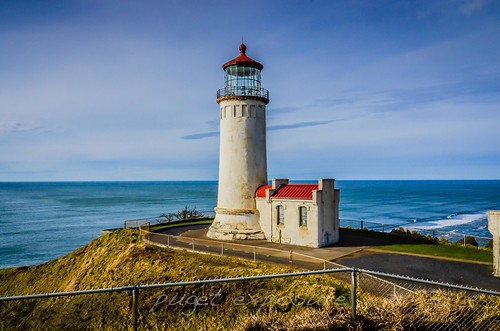
North Head Lighthouse

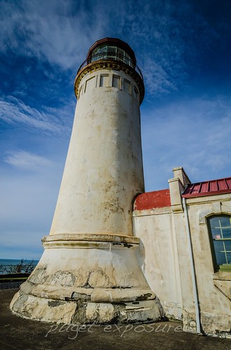
Construction of the 65' foot cement and plaster lighthouse was completed in 1897, 40 years after the Cape Disappointment Lighthouse, and its first-order Fresnel lens, which came from Cape Disappointment, was lit for the first time on May 16, 1898.
Mariners approaching the mouth of the Columbia River from the north side complained that they were unable to see the light from Cape Disappointment until they were nearly on top of the sandbar. The numbers of shipwrecks to north of the cape convinced the Lighthouse Board to make plans for adding an additional lighthouse.
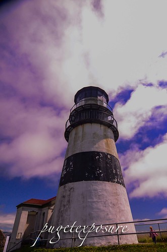
The North Head Lighthouse stands 194' feet above sea level and has 69 steps leading to the lantern room. Because there are 2 lighthouses so close to each other they needed to be visually different both day and night. The North Head Lighthouse has a solid white exterior plaster finish and a white signal light. The Cape Disappointment Lighthouse has a 10 foot solid black stripe around its midsection and has an alternating white and red flash sequence.


North Head Lighthouse North Head is one of the windiest places in the United States, with wind velocities in excess of 100 mph being frequently measured. On January 29, 1921, winds were clocked at 126 mph before the measuring instrument blew away.
On April 19, 1932, a wild duck went crashing through the storm panes in the lantern room and caused slight damage to the lens. Wire nets had been placed around lantern rooms at other stations to prevent such occurrences.
The original lens was replaced by a fourth-order lens in 1935, when electricity came to the station. Seven years later, on June 22, 1942 at 12:35 a.m. the keeper was ordered to turn off the light. Fort Stevens, Oregon had just been fired upon by a Japanese submarine, and as part of a strategy to keep the location of Fort Stevens and Fort Canby hidden, the surrounding lighthouses were darkened until the danger was over.
Two of the Fresnel lenses used at North Head Lighthouse have been preserved. The first-order lens can be seen at the Lewis and Clark Interpretive Center, inside Cape Disappointment State Park, and the fourth-order lens is housed at the Columbia River Maritime Museum in Astoria, Oregon. The two aero beacons remained in the lantern room during the 1990s, but they were replaced around 1998 by a modern beacon lit by a twelve-volt bulb that is on a six-bulb appliance that rotates in a new bulb when one burns out.
The title to the lighthouse and its surrounding property were transferred from the USCG to Washington State Parks in 2012.
Head Keepers: Alexander K. Pesonen (1898 – 1924), Andres G. Siniluoto (at least 1930 – at least 1936), Leonard W. Gabriel (at least 1940).


Saturday, March 1, 2014

No. 243 Cape Disappointment Lighthouse

Cape Disappointment Lighthouse


Cape Disappointment State Park covers 1,882 acres, has 2 miles of ocean beaches and features 2 lighthouses the Cape Disappointment Lighthouse and the North Head Lighthouse. The cliff at the southern tip of the park rise to over 230 feet above the Pacific Ocean. There are many trails that traverse the state park and lead you to the lighthouses and interpretive center. There are primitive to full utility sites available for tents and RV's and you can also reserve yurts via the state website. Modern bathroom facilities have coin operated hot showers.

Cape Disappointment Lighthouse Ilwaco WA


The Columbia River, named after Captain Robert Grey's vessel Columbia Redivivia in 1792, travels nearly 1,200 miles from its source in the Canadian rockies before reaching the Pacific Ocean at Cape Disappointment. The width and strength of the Columbia River causes lots of sand and sediment to build up at the mouth of the river. The rapid flowing river over the shallow sand bar colliding with the Pacific Ocean creates one of the worlds most dangerous waterways. Between 1725 and 1961 234 ships have run aground or been sunk by the turbulent waters. 
The current name for Cape Disappointment dates back to a captain's log entry from July 1788 made by Captain John Meares, who tried to seek shelter for his vessel during a violent sea. After rounding the cape in search of calmer waters he wrote, "Disappointment continued to accompany us...we can safely say no river exists." Captain Meares christened the cape, "Cape Disappointment."
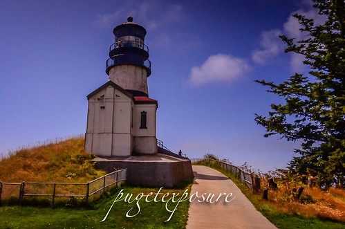
The first attempts at marking the entrance to the Columbia River included topping of trees on the bluff and hanging a white flag. The increased marine traffic and shipwrecks along the cape resulted in a need for better navigation including channel markers and a lighthouse. On October 15th, 1856 the 53' foot tall Cape Disappointment Lighthouse was light. The lighthouse was maintained by 7 different light keepers from 1856 to 1930s. The fourth-order Fresnel lens was removed and the light electrified in 1937. The lighthouse became fully automated in 1973. 
In March 1865 after the bark Industry wrecked near the cape and 17 crew drowned Light Keeper Captain Munson rebuilt a battered longboat as a lifeboat. One year later the cargo ship W.B Scranton ran aground and the entire crew was saved with the lifeboat. Through Lighthouse Keeper Munson's efforts a life saving station was established in 1871. 
Today the United States Coast Guard continues to respond to maritime emergencies from its Cape D station located at Cape Disappointment and to train crew members from across the country on surf and heavy seas rescues through its National Motor Lifeboat School. 

Cape Disappointment Lighthouse Ilwaco WA
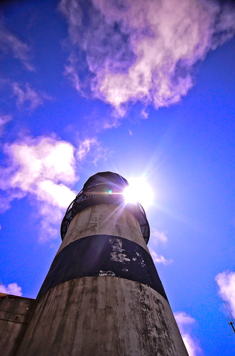
Cape Disappointment Lighthouse distinctive black horizontal stripe was added to distinguish it from the North Head Lighthouse just 2 miles to the north
Cape Disappointment Lighthouse Ilwaco WA


National Motor Lifeboat School photo credit: USCG Petty Officer Jamie Parsons  
Waikiki Beach, Cape Disappointment State Park, WA
View from Waikiki Beach Photo credit : Abhinaba Basu


Friday, February 28, 2014

No. 242 Ilwaco Marina

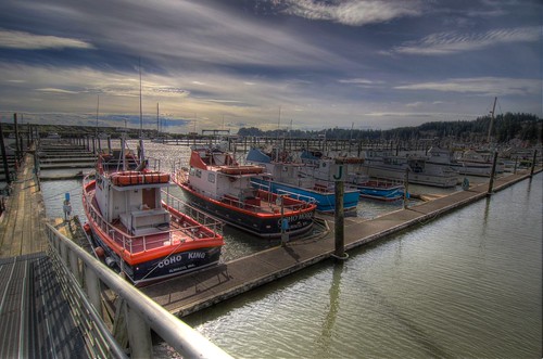
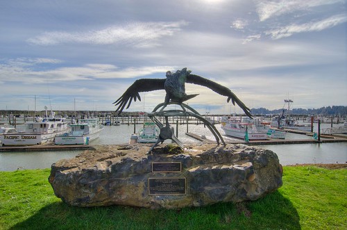
Ilwaco Marina
MAP It

The quaint fishing town of Ilwaco is located on the north shore of Baker Bay where the Columbia River meets the Pacific Ocean at the south end of the the Long Beach Peninsula. An important transport hub in its early years workers and vacationers would arrive on boats and ferries from cities east up the river and the take horse drawn carriages and later trains up the Long Beach Peninsula.
Ilwaco became well known as an excellent fishing location for Chinook Salmon by the late 19th century. Local soft spruce timber found around Black Lake north of Ilwaco supplied the wood for making shipping boxes for the fresh caught salmon.
There were over 500 permanent fish traps attached to pilings in the waters off Ilwaco until 1934 when the State of Washington in an attempt to prevent overfishing banned the use of Great Lake Style Fish traps.
While Ilwaco sits on a flat basin behind Baker Bay protected from storms and sea swells by the cliffs of Cape Disappointment the channel and waters leading into the Pacific Ocean are treacherous waters to navigate and the area is regarded as one of the dangerous river bars in the world. The shallow waters quickly turn turbulent as strong outgoing tides of the Columbia River meet head on with incoming Pacific Ocean swells producing waves reaching heights of 20-30 feet.
Over 230 vessels have sunk at the mouth of the Columbia River since the 1890, for that reason this body of water is also called the "Graveyard of the Pacific."
The importance of the waterway to commerce and fishing attracts a lot of boating activity heading out to Pacific Ocean past the Columbia River Bar. The inherent risks of navigating the sand bar just off the coast led the United States Coast Guard to establish its largest Search & Rescue Station in the Northwest. 50 crew members staff 9 SAR boats 24/7/365 and respond to over 200 calls a year for assistance. The majority of responses happen during the summer months when recreational fishermen arrive for salmon and bottom fishing and get into trouble.
The United States Coast Guard has a Motor Lifeboat School in Ilwaco to train crews for surf rescue operations.


Ilwaco Charter Fleet
Charter Fleet
Ilaco Marina

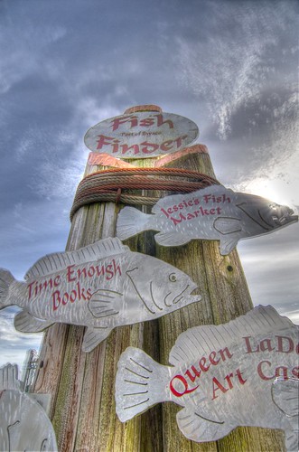
Ilwaco Fish Finder
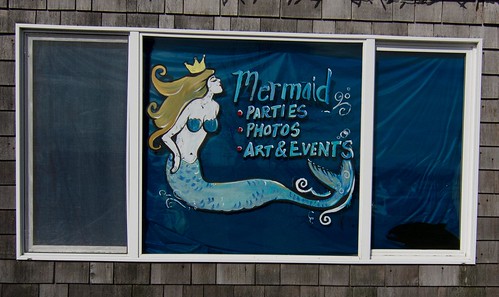
Ilwaco Mermaif

Ilwaco Crab Pots

Wednesday, September 11, 2013

No. 218 Surfs Up at Westhaven State Park

Westhaven State Park
Grays Harbor Bay
Westport, Washington

MAP IT


Westhaven State Park is a 79.06-acre day-use park with 1,215 feet of shoreline on the Pacific Ocean and Half Moon Bay. The park has panoramic views of the beach and is within minutes of the city of Westport, the marina and nearby attractions. Sitting along the South Jetty, the park is a popular destination for surfing, jetty fishing, crabbing and picnicking. A concrete boardwalk transverses the primary dune, connecting this park with Westport Light State Park, 1.3 miles away.


Westhaven State Park, Westport Washington
Westhaven State Park is a popular surfboard and kite surfing spot in Westport, Wa. Strong easterly winds and 4-8 foot swells make it a popular surf beach. #westport #washingtonstate #beach #beaches #surfing #photography #seascape #landscape #boarding

Westhaven State Park, Westport Washington

Westhaven State Park, Westport Washington


Westhaven State Park, Westport Washington


Please Support Puget Exposure 

 We love to bring you guys the updates to best and greatest photography locations in and around Seattle and the greater Puget Sound area, photography tips and gear related stuff. However, we can’t keep doing that unless we have your continued support. If you would like to purchase any of images featured in an article, please do so by clicking HERE or on the Post Cards and Prints tab above in the header. You can also make secure donation to the travel fund via PayPal. If you frequently shop on Amazon.com, by clicking on the Amazon links listed below you can continue to browse Amazon and any purchase you make will give us a small portion of the sale to continue to run this website. Banner Links for PEP Gear Used:
 
lens rental Washington State travel, Washington State travel, Washington Destinations, Photography, Photography spots, best things to do in Seattle, Best things to in Washington State, Washington Tourism Alliance, Washington State Tourism board, recommendations, recommendations for things to see in washington state, things to do in washington state, things to do in seattle, things to do in Tacoma washington, Washington Photographers, Washington nikon shooters, best seattle photography, washington exploration, experience washington, what to do while visiting seattle, seattle top attractions, seattle food, Space Needle, Explore Washington State, Puget Exposure Photography, Puget Exposure, Road Trips through Washington State, Weird Washington, King County, Snohomish County, Seattle, Everett, Tacoma, Kent, Redmond, Kirkland, Washington Sunrises where and when, Washington State Weather,

Tuesday, September 10, 2013

No. 217 Grays Harbor Towering Lighthouse is also Washington States tallest and 3rd on the Pacific Northwest

Grays Harbor Lighthouse
1020 W Ocean Ave, Westport, WA 98595
Height: 107' (33 m)
First lit: 1898
http://www.westportmaritimemuseum.com/pricing-hours/

MAP IT: 

The Grays Harbor Inlet is one of the few along Washington State's coastline to allow ocean going vessels to enter without having to sail up a difficult river or channel. The towns of Hoquiam, Westport and Aberdeen saw increased growth and revenue from the booming timber industry in the late 1800s. By 1880s a number of ships had wreck near the entrance to Grays harbor and local representatives headed to Washington to ask law makers for funds to construct a lighthouse to aid in navigation and protect their lumbar industry.
After 14 years of funding issues and construction delays the 107 foot brick and mortar lighthouse was built on a tract of land 400 feet from the break water. Over the past 100 years storms and sediment accretion from the jetty protruding from the entrance to Grays Harbor have deposited nearly 3000 feet of sand in front of the lighthouse. Currently Grays Harbor Lighthouse sits 4 blocks from the ocean hidden amongst the trees with only its light tower rising above the tree line.
There are 135 metal stair bolted to the brick interior which take depending on your fitness level about 10 minutes to ascend.
There is no fee to lighthouse grounds or gift shop but it will cost you $5 and some sweat to get to the top of the lighthouse.
For more Details on Grays Harbor Lighthouse check out http://www.lighthousefriends.com/light.asp?ID=117
Garys Harbor Lighthouse with fog signal building
Photograph courtesy University Washington


Grays Harbor Lighthouse, Westport Washington

Grays Harbor Lighthouse, Westport Washington

Grays Harbor Lighthouse, Westport Washington
Please Support Puget Exposure 

 We love to bring you guys the updates to best and greatest photography locations in and around Seattle and the greater Puget Sound area, photography tips and gear related stuff. However, we can’t keep doing that unless we have your continued support. If you would like to purchase any of images featured in an article, please do so by clicking HERE or on the Post Cards and Prints tab above in the header. You can also make secure donation to the travel fund via PayPal. If you frequently shop on Amazon.com, by clicking on the Amazon links listed below you can continue to browse Amazon and any purchase you make will give us a small portion of the sale to continue to run this website. Banner Links for PEP Gear Used:
 
lens rental Washington State travel, Washington State travel, Washington Destinations, Photography, Photography spots, best things to do in Seattle, Best things to in Washington State, Washington Tourism Alliance, Washington State Tourism board, recommendations, recommendations for things to see in washington state, things to do in washington state, things to do in seattle, things to do in Tacoma washington, Washington Photographers, Washington nikon shooters, best seattle photography, washington exploration, experience washington, what to do while visiting seattle, seattle top attractions, seattle food, Space Needle, Explore Washington State, Puget Exposure Photography, Puget Exposure, Road Trips through Washington State, Weird Washington, King County, Snohomish County, Seattle, Everett, Tacoma, Kent, Redmond, Kirkland, Washington Sunrises where and when, Washington State Weather, Grays Harbor, Grays Harbor Lighthouse, Washington State Tallest Lighthouse, Westport, Washington, Lighthouses

Sunday, August 4, 2013

No. 210 Longest Beach in the USA is right here in Long Beach, WA

City of Long Beach, Washington
Distance from Seattle: 171 miles
Distance from Portland, Oregon: 112 miles

MAP IT 


 Long Beach Peninsula was established into a resort area in the 1880s by Henry Harrison Tinker who invested monies into land claims, built hotels and infrastructure to attract vacationers from the Portland area to western Washington's coast. People would board a ship in Portland, Oregon and float down the Columbia River to the Port of Ilwaco and would ride on horse drawn wagons up to "Tinkerville" now called Long Beach. In 1889 the Ilwaco Railway and Navigation Company laid  a narrow gauge railroad that ran up the whole peninsula which was in service until 1930 when automobiles and the push for a national highway system arrived in western Washington.
The 28 mile long peninsula lies between the Pacific Ocean and Willapa Bay is known for its abundant seafood harvest including the largest salmon run in the world, razor clams, halibut, cod and oysters. Half of the oysters harvested in the State of Washington come from the Long Beach Peninsula.
The soft yellow sand and warm summer temperatures attracted thousands of visitors to make the 8 hour ship/train voyage to Long Beach back in the late 1880s. Today people still converge on Long Beach for its resort town feel. Although there are no longer horse drawn wagons making their way up and down the beach you can still bring your own horse or take a guided horse back ride on the beach. Restaurants, museums, gift shops and kite shops keep downtown Long Beach bustling in the summer months.
There are around 1,300 people that live year round in Long Beach but during the summer months population numbers swell as tourists, vacationers and vacation home owners arrive in great numbers.
There are many fishing, food, and kite flying festivals that are held at Long Beach every year.
Although the temperatures can reach the mid 80s in the summer the pacific ocean is still very for swimmers but the wide beaches and boardwalk make beach walking easy and fun.


Orca Statue Long Beach, WA
Orca Statue downtown Long Beach
Long Beach, Washington
former "World's Largest Frying Pan" cast for the Razor Clam festival in 1941
Street Mural Long Beach, WA
Jake the Alligator Man Mural in Fish Alley
Evening Trot
Evening Beach Trot
Marsh's Free Museum Long Beach, WA Long Beach, WA


 Please Support Puget Exposure 

 We love to bring you guys the updates to best and greatest photography locations in and around Seattle and the greater Puget Sound area, photography tips and gear related stuff. However, we can’t keep doing that unless we have your continued support. If you would like to purchase any of images featured in an article, please do so by clicking HERE or on the Post Cards and Prints tab above in the header. You can also make secure donation to the travel fund via PayPal. If you frequently shop on Amazon.com, by clicking on the Amazon links listed below you can continue to browse Amazon and any purchase you make will give us a small portion of the sale to continue to run this website. Banner Links for PEP Gear Used:
 
lens rental Washington State travel, Washington State travel, Washington Destinations, Photography, Photography spots, best things to do in Seattle, Best things to in Washington State, Washington Tourism Alliance, Washington State Tourism board, recommendations, recommendations for things to see in washington state, things to do in washington state, things to do in seattle, things to do in Tacoma washington, Washington Photographers, Washington nikon shooters, best seattle photography, washington exploration, experience washington, what to do while visiting seattle, seattle top attractions, seattle food, Space Needle, Explore Washington State, Puget Exposure Photography, Puget Exposure, Road Trips through Washington State, Weird Washington, King County, Snohomish County, Seattle, Everett, Tacoma, Kent, Redmond, Kirkland, Washington Sunrises where and when, Washington State Weather, Long Beach Washington, history of long beach, jake the snake fish, meet jake