Lime Kiln Lighthouse

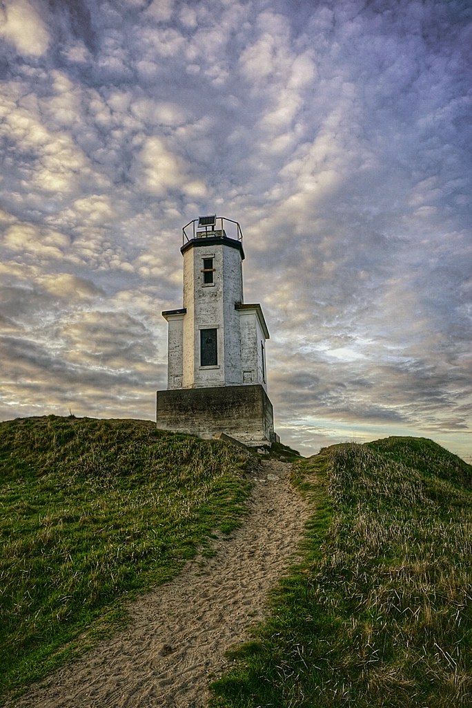
Lime Kiln Lighthouse on the west side of San Juan Island, Washington

Lime Kiln Lighthouse on the west side of San Juan Island, Washington

Lime Kiln Lighthouse on the west side of San Juan Island, Washington

Lime Kiln Lighthouse on the west side of San Juan Island, Washington

Lime Kiln Lighthouse on the west side of San Juan Island, Washington

Showing posts with label san juan islands. Show all posts

Monday, March 9, 2015

No. 306 San Juan County Park Campground

San Juan County Park

San Juan Park Road
Friday Harbor, WA 98250


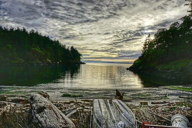
San Juan County Park is located on the western side of San Juan Island along the shore of Smallpox Bay. Its is both a day use and overnight campground taht features a gravel beach inside Smallpox Bay, a boat ramp, 20 campsites spread over 12 acres, Picnic Tables, Fire pits and seasonal water and toilets. Its a popular canoe and kayak launch area for paddlers. 
A variety of wildlife can be scene from shore such as eagles, otters, herons, and the occaional orca whale passing by on their way to Lime Kiln State Park 
San Juan County Park is equal distance from Roche Harbor or Friday Harbor about a 25 minute drive. 
The peak park visitor season is from May through September. To make a reservation check out the parks website http://www.co.san-juan.wa.us/parks/sanjuan.aspx


San Juan County Park
Smallpox Bay, San Juan Island
San Juan County Park
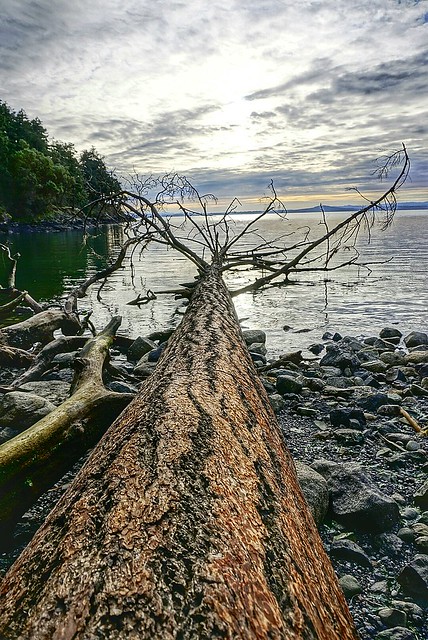
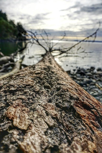
Fallen Tree 
San Juan County Park

Wednesday, March 4, 2015

No. 305 Lime Kiln Lighthouse State Park

Lime Kiln Point State Park
1567 Westside Road
Friday Harbor, Wa 98250
Hours: 8am to Dusk

MAP IT 
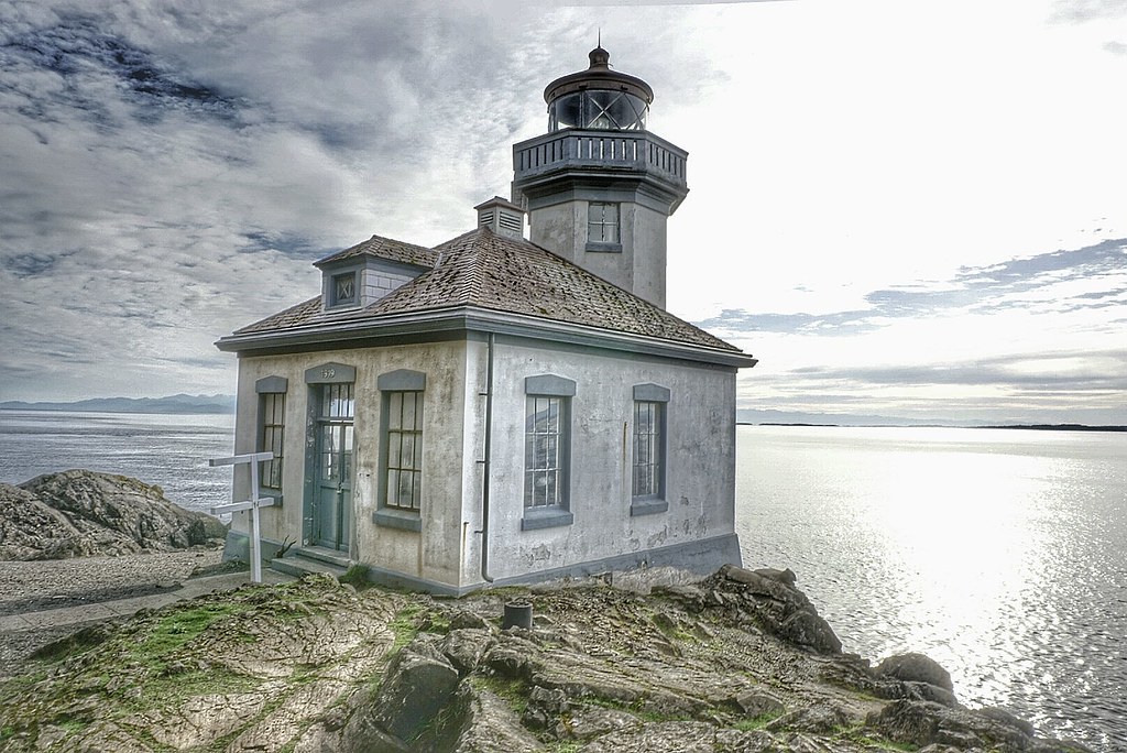

Lime Kiln Lighthouse State Park


Lime Kiln Point State Park is located on the western side of San Juan Island. The 36 acres state park features over a mile of trails that wander down to the waters edge and through a grove of pacific madrone tree to the Lime Kiln Lighthouse. Beginning in the 1860s the west side of San Juan Island was quarried for lime stone and a good portion on the island was deforested to feed the fires that transformed limestone into lime, which was then used in construction mortar.
A shoreline viewpoint is about a 10 minute walk from the parking lot. The rocky shoreline plunges to over 900 feet in depth quickly. Through the daily tidal currents from Haro Straight into the Gulf of Georgia nutrients rich waters are pushed up against the island attracting a variety of marine life to congregate just off shore including fish, otters, sea lions, seals, minke whales and orca whales that come to play in the kelp beds and hunt for salmon.
Depending on the time of year Lime Kiln Point is a popular land based whale spotting location.

Lime Kiln Lighthouse is a 38 foot octagonal building built on a rock cliff 20 feet above the waterline and the fourth-order Fresnel lens was first light in 1919. The lighthouse tower was built atop of a fog signal building. In 1951 the Bonnevile Power Administration laid a submarine power cable from Anacortes, WA to San Juan Island and the Fresnel lens was replaced by a non-rotating electric bulb, and two electric foghorns were installed. The light station became fully automated in 1962.
In 1984 the lighthouse station and grounds were turned over by the United States Coast Guard to  Washington State Parks. The USCG still maintains the lighthouse tower as an active aid to marine navigation, but the building is used by the Friends of Lime Kiln Society as an Interpretive Center for Special Events and Tours.

Discover Pass: An Annual Discover Pass or a Day Use fee is required for vehicle access to the park for day use. No over night parking
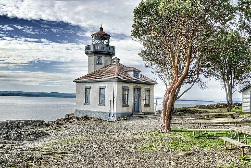
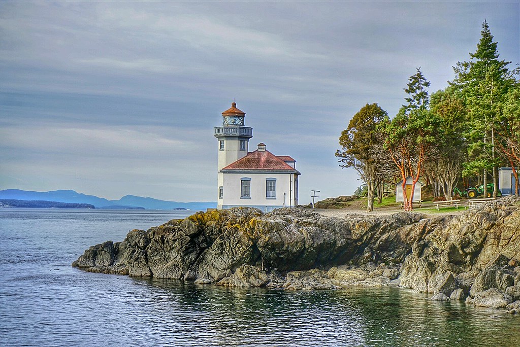
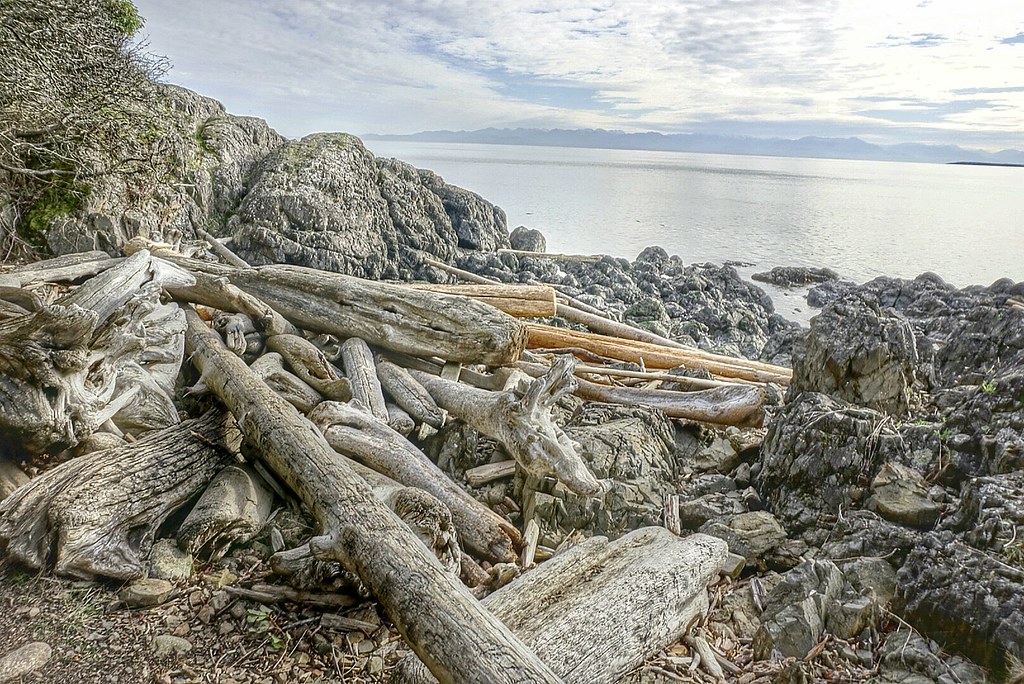
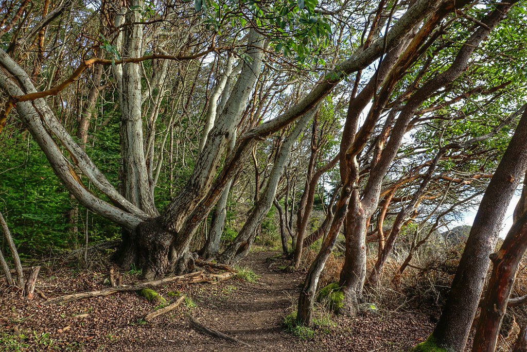
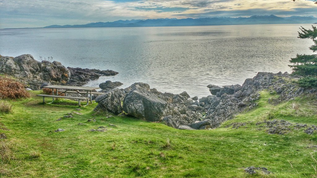


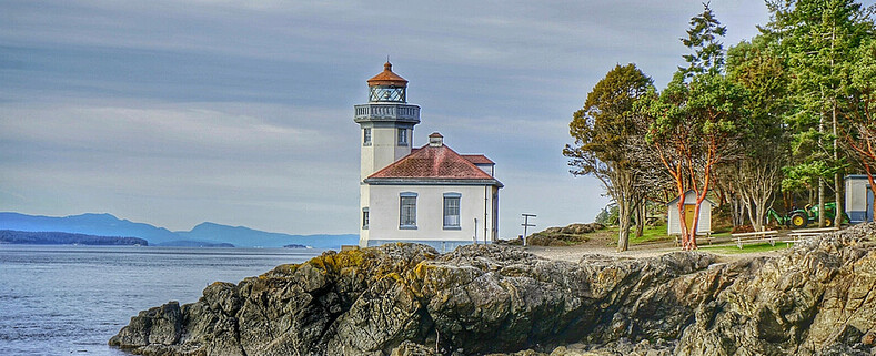
Lime Kiln State Park

Lime Kiln Lighthouse State Park Lime Kiln Lighthouse State Park Lime Kiln Lighthouse State Park Lime Kiln Lighthouse State Park Lime Kiln State Park

Saturday, February 28, 2015

No. 304 Cattle Point Lighthouse

Cattle Point Lighthouse
Cattle Point RdFriday Harbor, WA 98250

MAP IT 

Cattle Point Lighthouse


Cattle Point Light is a lighthouse on southern tip of San Juan Island in an area known as Cattle Point, in the Haro Straits of Washington. The first navigational aid on Cattle Point was a lens lantern established in 1888. George Jakle, a soldier who had been stationed at American Camp and had remained on the island raising sheep, was paid to maintain the light. Jakle would tend the light each day and fill the lantern's reservoir each week, using kerosene from five-gallon barrels that were offloaded at nearby Griffin Bay every couple of months by a lighthouse tender. 
A radio compass station was established at Cattle Point by the Navy in 1921, and sailors serving there took over maintenance of the light. Using bearings from that stations at Cattle Point, New Dungeness Spit, and Smith Island, ships sailing through the Strait of San Juan de Fuca could pinpoint their location even in dense fog.
The modern 34-foot (10 m), octagonal, concrete tower on Cattle Point was erected in 1935. The lighthouse is located adjacent to the Cattle Point Natural Resources Conservation Area, which is managed by the State Department of Natural Resources, so a Discovery Pass is required for your vehicle. Parking is available near a picnic shelter housed in an old powerhouse, leftover from the Naval Radio Compass Station. Trails lead from the conservation area's shelter to the lighthouse.

Sunday, July 14, 2013

No. 203 Mount Erie, Anacortes

Mount Erie
Heart Lake Road / Ray Auld Dr
Anacortes, WA
MAP IT 


Mount Erie View POI


Mt. Erie View Point  is on the highest mountain of Fidalgo Island in Skagit County. The 160 acre park is operated by the Anacortes Community Forest Lands and offers various adventure activities such as multiple rock face ascents, trails and a number of hill top viewing areas. At the intersection of Heart Lake Road and Ray Auld Dr. there is a parking area and trail heads that meander through the forest. Located at the south end of the parking lot is Erie Mountain Dr, a 1.5 mile one lane paved road that you can either hike, bike or drive to the main viewing areas. The drive takes about 10 minutes as it zig zags its way up 800 feet in elevation to the top.
The end of Erie Mountain Drive is at around 1200 feet and has multiple viewing areas that looks east, west, and south all are just a few minute walk from the parking lot. The south face of MT. Erie is a popular rock climbing location with its exposed rock face that extends 900 feet vertically down to Lake Campbell.


Mount Erie Overlook, Anactores Washington
Looking East towards Padilla Bay and Burlington, WA
Mount Erie Overlook, Anactores Washington
Looking South over Lake Campbell


Mount Erie Overlook, Anactores Washington
Lake Campbell, Deception Pass, Naval Air station Whidbey, and Whidbey Island

Mount Erie Overlook, Anactores Washington
Overlook Forest Trail

Mount Erie Overlook, Anactores Washington
Burrows Bay, Allen Island, Lopez Island


Washington State travel, Washington State travel, Washington Destinations, Photography, Photography spost, best things to do in Seattle, Best things to in Washington State, Washington Tourism Alliance, Washington State Tourism board, recommendations, recommendations for things to see in washington state, things to do in washington state, things to do in seattle, things to do in Tacoma washington, Washington Photographers, Washington nikon shooters, best seattle photography, washington exploration, experience washington, what to do while visiting seattle, seattle top attractions, seattle food, Mount Erie, Mount Erie Anacortes, Anactores washington state, Fidalgo Island, Things to do in anancortes